8/12/2025
🔥 Hot Stretch Begins Today
We’re heading into a summerlike stretch from today through early next week, with highs pushing into the upper 80s to low 90s each day. Sunday could be the hottest day, reaching the mid 90s.
🌦️ Storm Chances Return
Today: Spotty showers and storms possible
Wednesday: The best chance of the week for showers and storms
Thursday & Saturday PM: Additional chances for scattered storms.
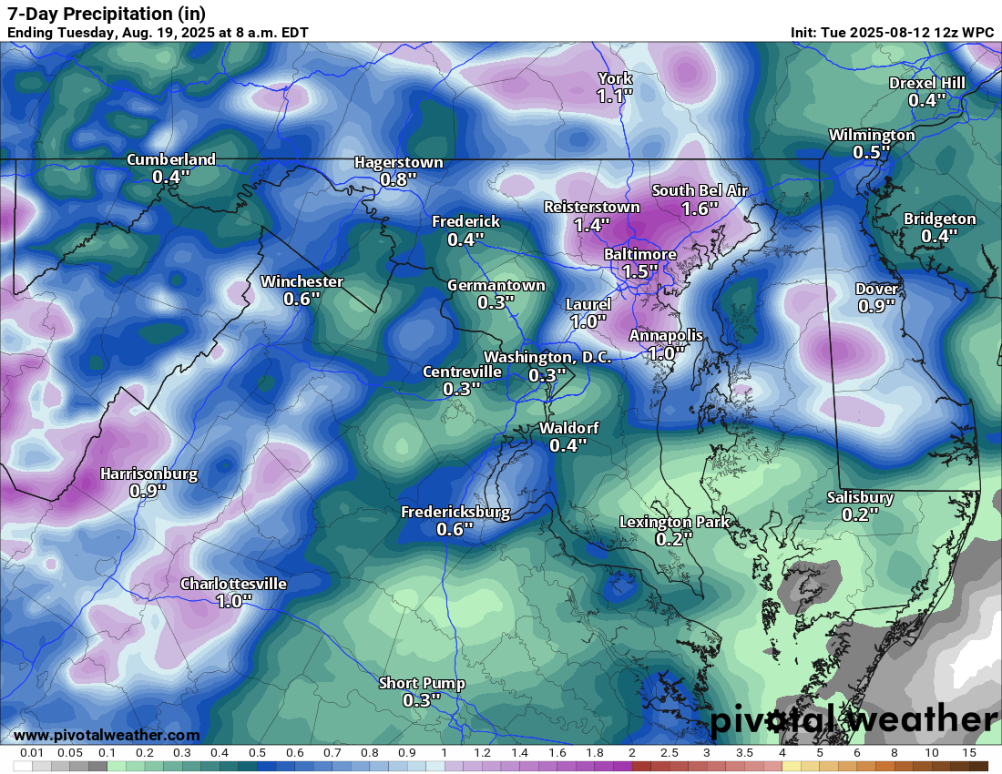
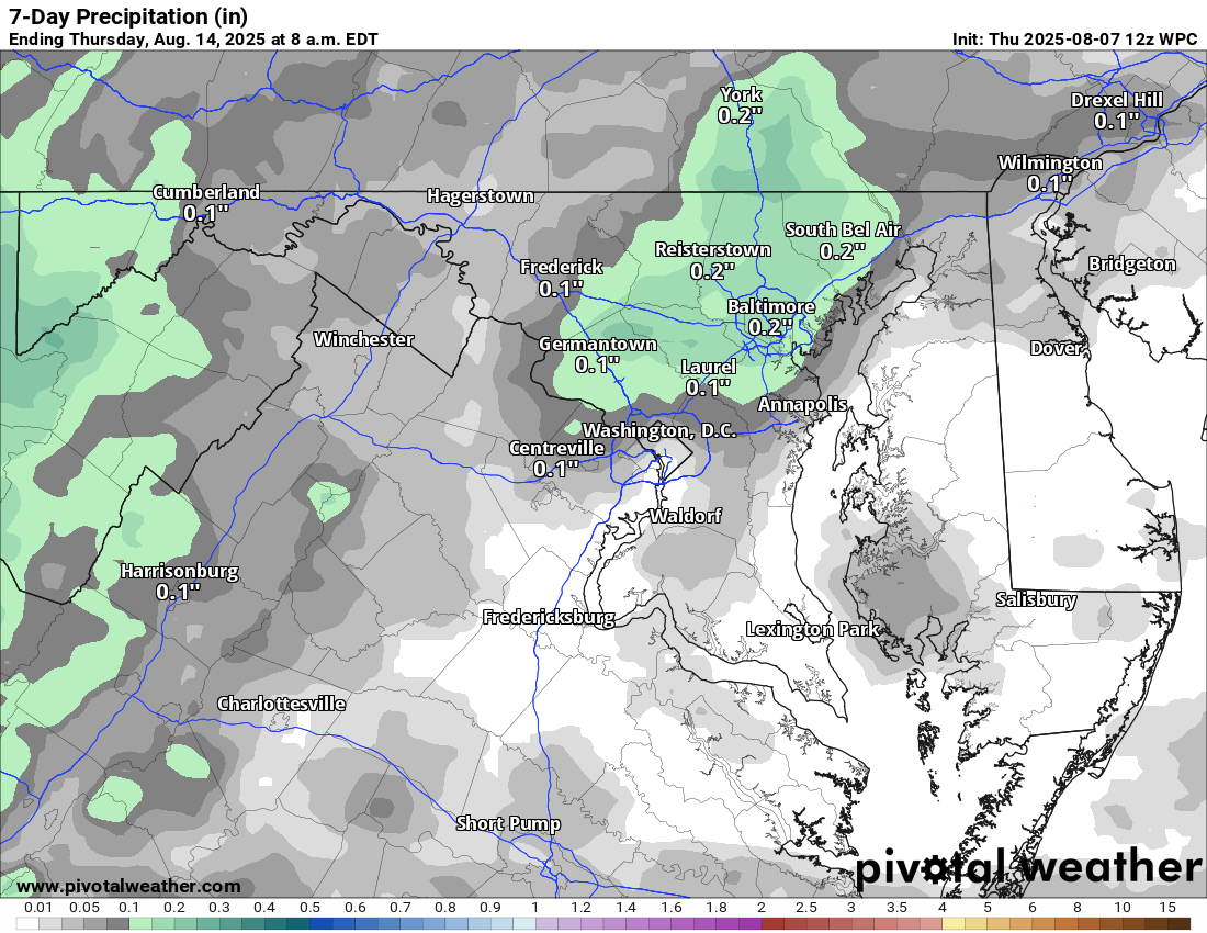
💧 Rain Relief Needed
Any storm this week will be important for boosting our rain totals, as conditions have been trending dry.
🌡️ Looking Ahead
The heat sticks around through early next week, but models hint at a cooldown later next week, potentially bringing temperatures back to normal or even below normal for several days.
The forecast:
Today: Hi 90 🌦️30% Lo 71 🌧️20% – Mostly sunny with a slight chance of late afternoon showers and storms
Wednesday: Hi 90 🌦️60% Lo 70 🌧️60% – Mostly cloudy with showers and storms likely in the afternoon
Thursday: Hi 89 🌦️40% Lo 69 🌧️30% – Partly sunny with a chance of afternoon showers and storms
Friday: Hi 89 🌤️ Lo 68 🌙 – Mostly sunny and dry
Saturday: Hi 90 🌦️30% Lo 69 🌧️30% – Mostly sunny with a slight chance of afternoon showers and storms
Sunday: Hi 95 ☀️ Lo 70 🌙 – 🥵 Sunny and hot
Monday: Hi 91 🌤️ Lo 67 🌙 – Mostly sunny and dry
#loudoun #loudouncountyva #vawx #loudounweather #loudounva #virginiaweather
Please support Tree of Life Ministries, an important organization to me! https://www.tolministries.org
Facebook: https://facebook.com/loudounwx
Twitter: https://twitter.com/loudounwx
Instagram: https://www.instagram.com/loudounweather/
On the Web @ https://loudounweather.com
Please support Tree of Life Ministries, an important organization to me! https://www.tolministries.org
Facebook: https://facebook.com/loudounwx
Twitter: https://twitter.com/loudounwx
Instagram: https://www.instagram.com/loudounweather/
On the Web @ https://loudounweather.com