☁️ Warm and Muggy Saturday
Today's staying humid with some clouds around and highs pushing toward 90.
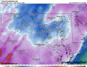
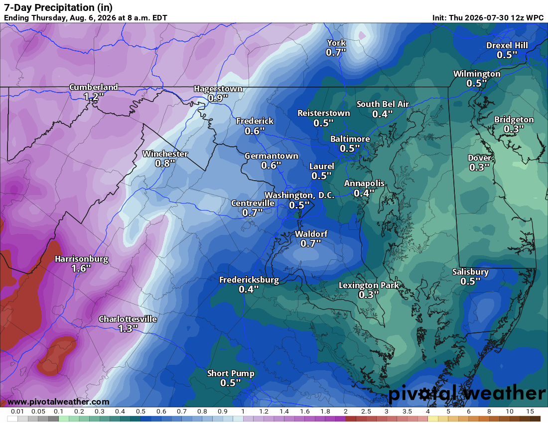
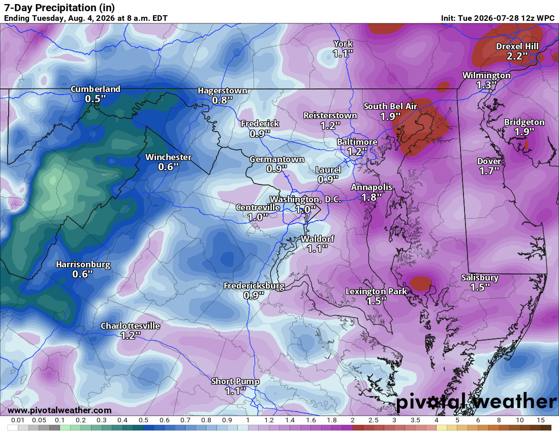
🌧️ Showers and Storms Return Sunday
Clouds increase tonight, then Sunday brings a much-needed chance of showers and thunderstorms, especially in the afternoon and overnight.
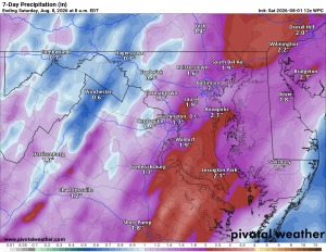
⛈️ Wet Stretch Continues Into Next Week
Rain looks likely into Monday, and then a 50% chance of showers and storms Tuesday, which looks like another good chance for wet weather. Wednesday through Friday keep chances in play as well, generally around 30% to 40% of rain each day
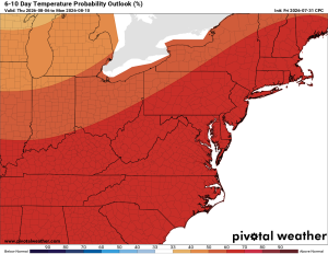
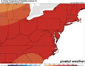
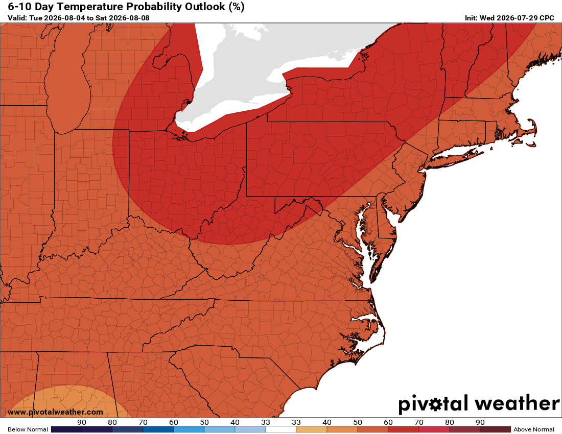
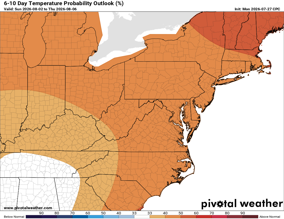
🌡️ Warm and Humid All Week
Temperatures hold in the mid to upper 80s to near 90 by next Friday. Above-normal temps continue in the long range.
The forecast:
Today: Hi 88 ☁️ Lo 72 ☁️ – Mostly cloudy with south winds gusting to 21 mph, remaining cloudy overnight with southeast winds continuing
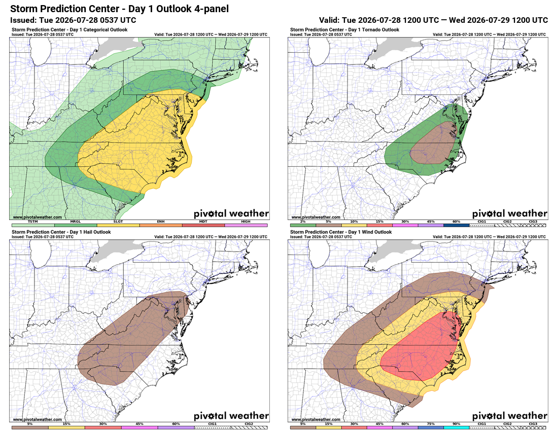
Sunday: Hi 84 ☁️⛈️50% Lo 70 🌧️70% – Chance of showers and thunderstorms during the day, then showers likely overnight with possible thunderstorms; some could be strong to severe.
Monday: Hi 86 ⛈️70% Lo 68 🌧️60% – Showers and thunderstorms likely in the afternoon and evening, chance of showers overnight
Tuesday: Hi 86 🌤️ ⛈️50% Lo 69 🌧️30% – Partly sunny with a chance of afternoon thunderstorms, chance of showers and thunderstorms overnight
Wednesday: Hi 87 🌤️ ⛈️30% Lo 70 🌧️30% – Partly sunny with a chance of afternoon thunderstorms, chance of showers and storms overnight
Thursday: Hi 89 🌤️ 🌦️40% Lo 70 🌧️30% – Chance of showers and thunderstorms, mostly sunny, with storms possible overnight
Friday: Hi 89 🌤️ 🌦️ 30% Lo 70 🌧️30% – Mostly sunny with a chance of showers and thunderstorms
#loudoun #loudouncountyva #vawx #loudounweather #loudounva #virginiaweather
Please support Tree of Life Ministries, an important organization to me! https://www.tolministries.org
Find some summer fun @ https://summer.joyinnova.com
Facebook: https://facebook.com/loudounwx
Twitter: https://twitter.com/loudounwx
Instagram: https://www.instagram.com/loudounweather/
On the Web @ https://loudounweather.com