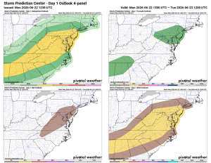
⚠️⚡️ Severe Weather Possible today!
🥵 Hot and Humid Today ⚠️ Severe Risk This Afternoon/Evening
We're in for a hot one, with highs near 90°F and muggy conditions. Showers and storms are likely through the early and mid-afternoon, with another round possible this evening. Some storms could turn severe with damaging winds, hail, and an isolated tornado or two. Nothing widespread expected, and any tornadoes would likely be brief and weak, but stay weather aware.
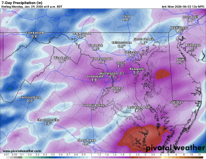
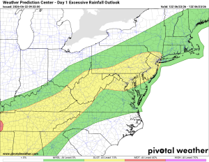
🌧️ Flooding Possible
Rain could be heavy, bringing a slight risk of flash flooding. If you've got drainage areas that tend to clog, now's a good time to clear them out.
😌 Relief Midweek
Tuesday starts with isolated showers into midday before clearing up, with highs in the low 80s. Wednesday looks like the pick of the week: mid 80s and lower humidity.
🌦️ Humidity Returns Late Week
Thursday through Saturday brings the humidity back along with afternoon and evening shower and storm chances, highs in the mid to upper 80s. Sunday settles into the mid 80s.
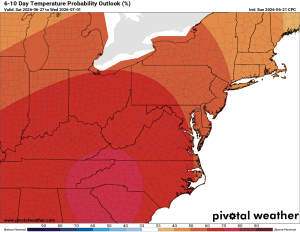
🔥 Heat Wave Possible
Long range guidance hints at a heat wave developing as we start next week. This will need to be monitored.
The forecast:
Today: Hi 87 ⛈️ 90% Lo 64 🌧️ 80% – Scattered showers and thunderstorms, some could be severe
Tuesday: Hi 80 🌦️ 20% Lo 58 🌙 – Isolated showers possible before
afternoon
Wednesday: Hi 83 🌞 Lo 61 🌙 – Sunny and pleasant
Thursday: Hi 88 🌦️ 40% Lo 65 🌧️ 30% – Chance of showers and thunderstorms
in the afternoon
Friday: Hi 87 🌦️ 50% Lo 64 🌧️ 30% – Chance of showers and thunderstorms
Saturday: Hi 84 🌦️ 30% Lo 64 🌧️ 30% – Chance of showers and thunderstorms
Sunday: Hi 85 ☀️ – Mostly sunny