1/15/2206
🧊 Bitter Cold Settles In
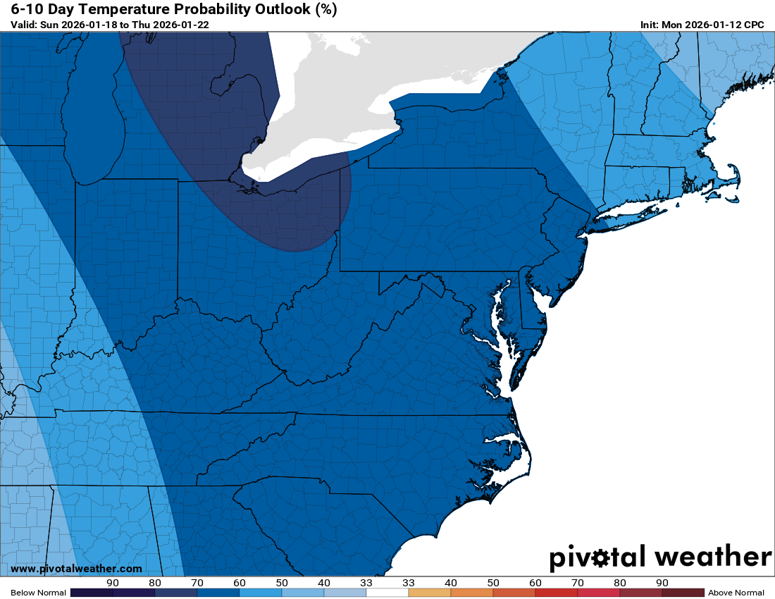
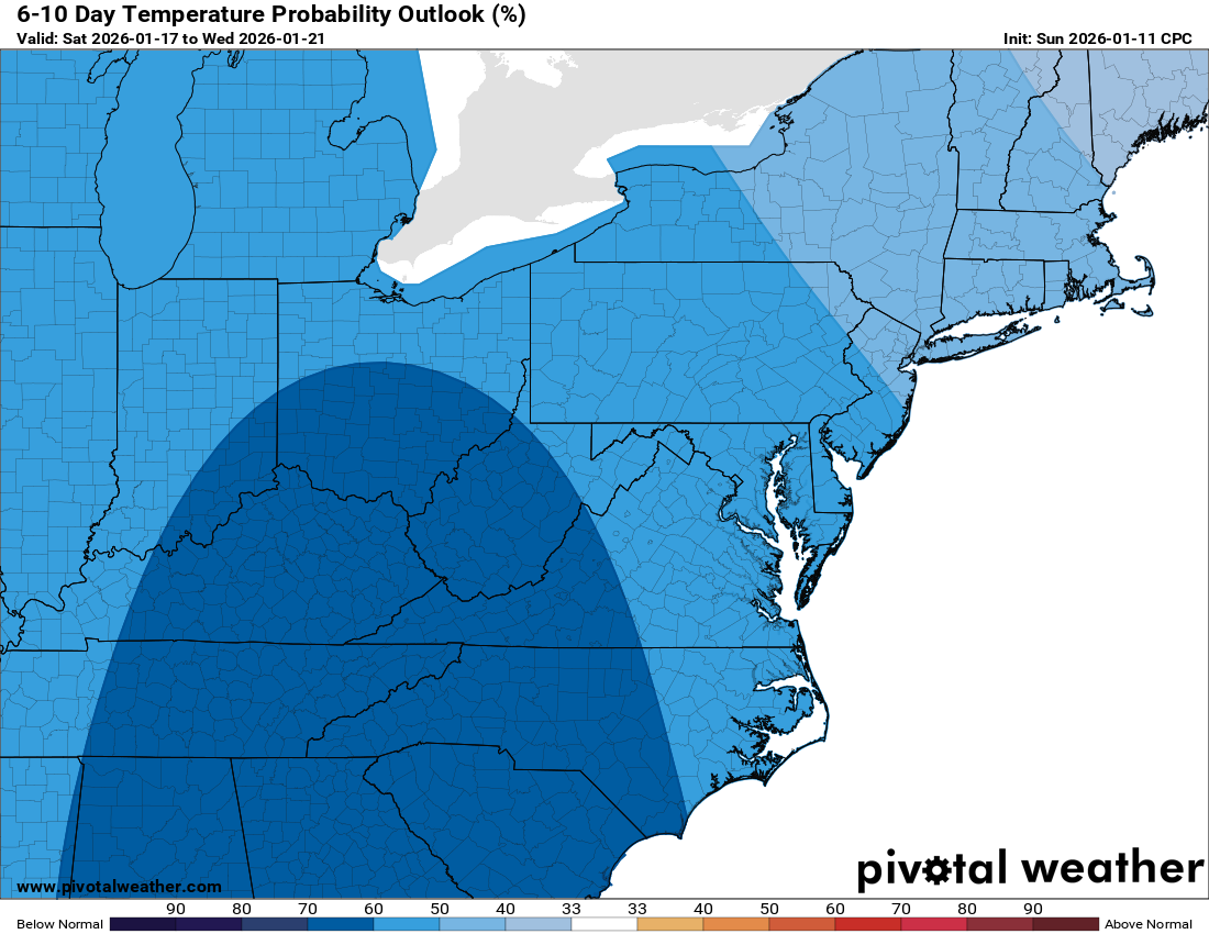
We’re heading into the coldest stretch of the season so far. Highs today stay in the mid to upper 20s with wind chills in the teens. Tonight and the next few nights will be downright frigid, with single-digit lows expected Monday and Tuesday night.
🐾 Take Care of Animals and Water Supplies
With temps staying below freezing most of the time, be sure to keep an eye on pets and any water systems that might freeze.
🌡️ Little Relief Ahead
Tomorrow nudges up near freezing, and Saturday could see a brief wintry mix in the morning with highs in the low 40s. Sunday turns colder again with breezy highs only in the 20s. Monday keeps that cold going with another day stuck in the 20s.
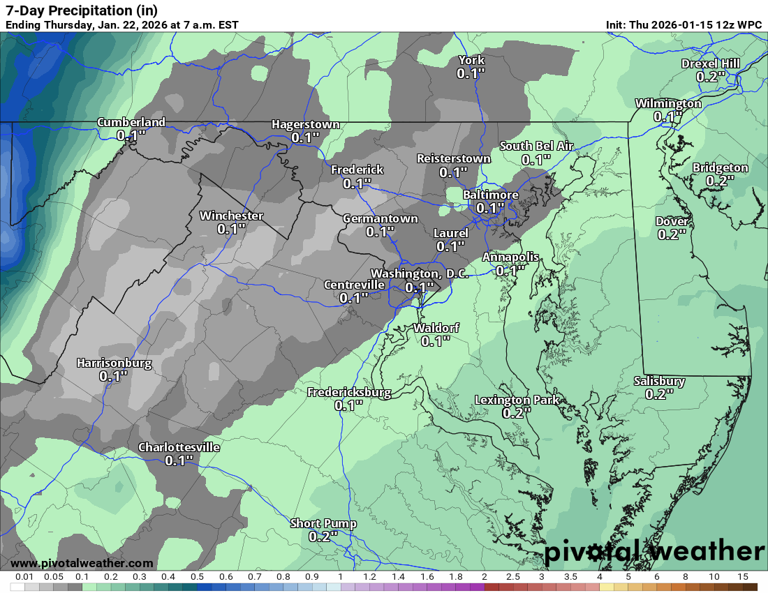
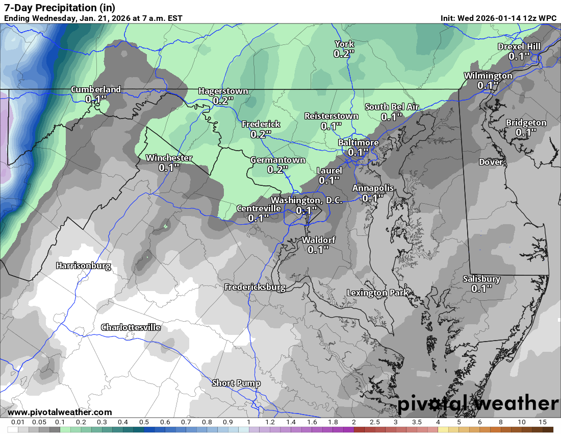
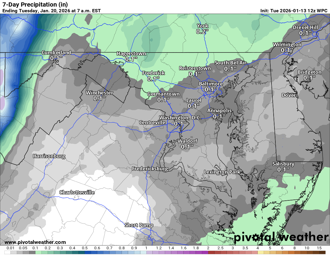
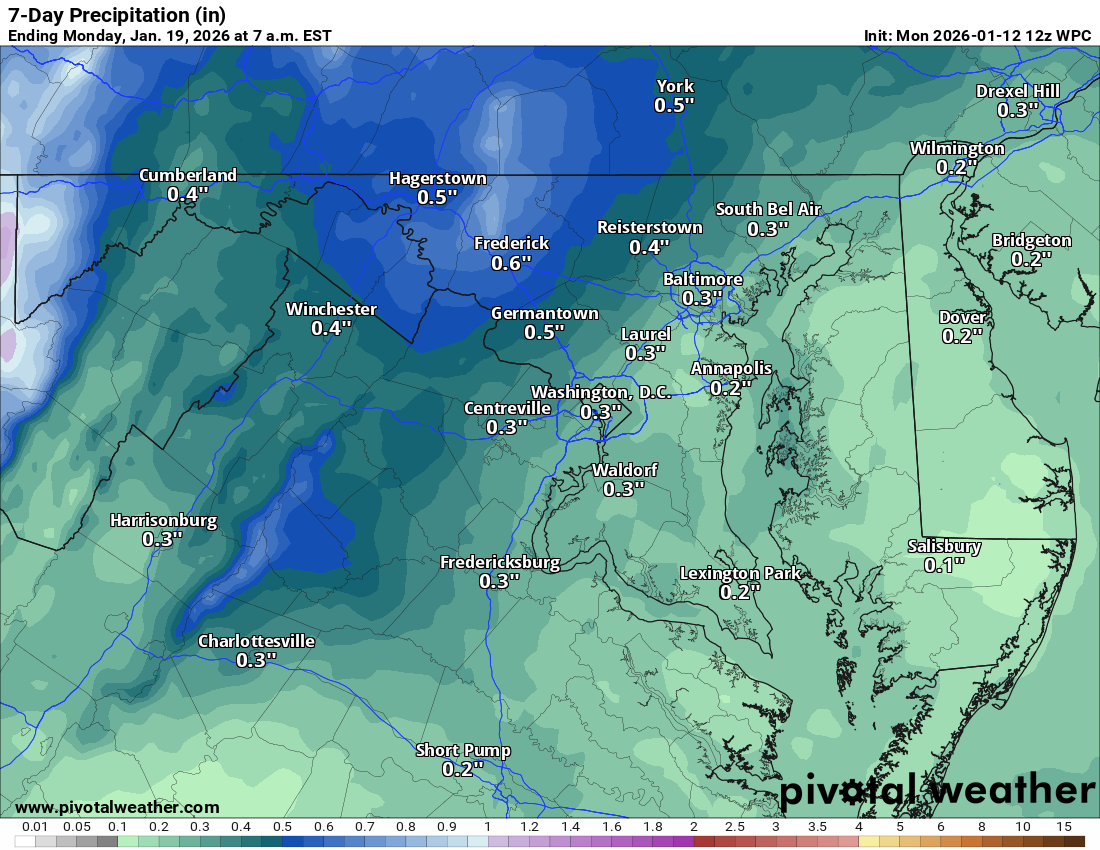
❄️ Still Dry, Still in Drought
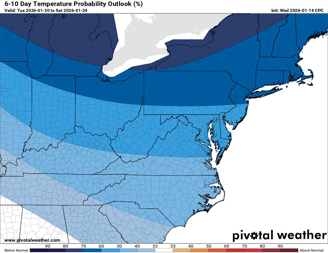
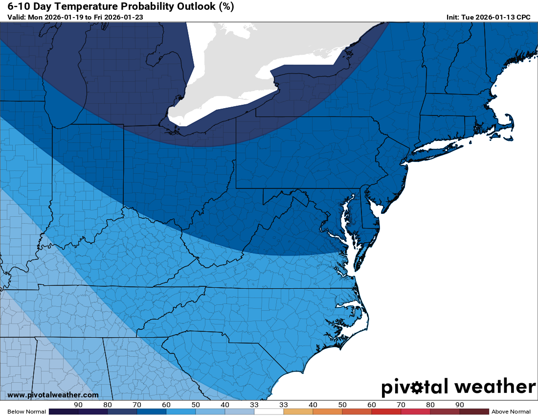
Snow chances remain low and unfortunately, our severe drought continues. There’s some long-range hope from the Climate Prediction Center showing a wetter pattern developing later, possibly bringing a storm if warm air tries to override the cold.
The forecast:
Today: Hi 30 ⛅ Lo 19 🌙 – Partly sunny and breezy during the day, becoming mostly clear and blustery at night
Friday: Hi 35 ☁️ Lo 28 ☁️ – Increasing clouds through the day, remaining mostly cloudy overnight
Saturday: Hi 45 🌦️🌨️40% Lo 25 🌨️20% – Partly sunny with a chance of snow changing to rain, slight chance of snow late at night
Sunday: Hi 30 ⛅ Lo 16 🌙 – Partly sunny during the day, mostly clear and cold overnight
M.L.King Day: Hi 33 🌤️ Lo 12 🌙 – Mostly sunny during the day, becoming partly cloudy and colder overnight
Tuesday: Hi 23 🌞 Lo 10 🌙 – Sunny and cold during the day, mostly clear overnight
Wednesday: Hi 31 🌤️ Lo 15 🌙 – Mostly sunny during the day, clear and cold at night
#loudoun #loudouncountyva #vawx #loudounweather #loudounva #virginiaweather
Please support Tree of Life Ministries, an important organization to me! https://www.tolministries.org
Facebook: https://facebook.com/loudounwx
Twitter: https://twitter.com/loudounwx
Instagram: https://www.instagram.com/loudounweather/
On the Web @ https://loudounweather.com