🌡️ Hot and Humid Sunday
Highs will climb into the low 90s today, and it'll feel even hotter with humidity returning.
⛈️ Storm Chance This Afternoon and Evening
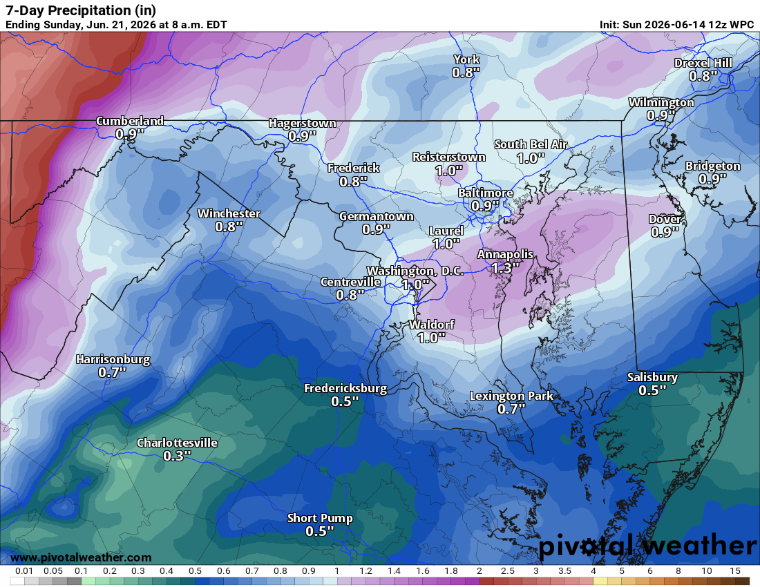
Thunderstorms are possible later today into this evening. Some could be strong to severe, though the highest severe threat looks to be mainly east of Loudoun. If a stronger storm does push through, wind will be the primary threat, with hail and an isolated tornado also possible. Stay weather alert as we go through the day.
🌤️ Much Cooler Tomorrow and Tuesday
The storm activity will usher in a nice cooldown. Highs in the upper 70s to around 80 Monday and Tuesday.
🌡️ Warming Back Up Mid to Late Week
Temperatures creep into the mid to upper 80s Wednesday, then back into the low 90s by Thursday.
⚠️⚡️ Thursday also brings a good chance of showers and storms, and there is some concern that dynamics could support a more widespread severe threat.
⛈️ Friday and the Weekend
A chance of continued showers and storms on Friday. Next weekend is shaping up nicely with highs in the mid 80s and pleasant weather. The extended brings an ongoing chance of nice temperatures.
The forecast:
Today: Hi 92 🌦️30% Lo 61 🌧️60% – Sunny with chance
of afternoon thunderstorms becoming likely this evening, some strong to severe possible
Monday: Hi 78 ☀️ Lo 55 🌙 – Sunny and breezy
Tuesday: Hi 79 ☀️ Lo 59 🌧️20% – Mostly sunny with a slight chance of overnight thunderstorms
Wednesday: Hi 85 🌤️ Lo 64 🌙 – Mostly sunny
Thursday: Hi 92 🌦️40% Lo 67 🌧️50% – Partly sunny and breezy with chance of
afternoon thunderstorms. Severe Weather Possible!
Juneteenth: Hi 83 🌦️50% Lo 61 🌙 – Achance of showers and
thunderstorms
Saturday: Hi 84 ☀️ – Sunny
#loudoun #loudouncountyva #vawx #loudounweather #loudounva #virginiaweather
Please support Tree of Life Ministries, an important organization to me!
Facebook: https://facebook.com/loudounwx
Twitter: https://twitter.com/loudounwx
Instagram: https://www.instagram.com/loudounweather/
On the Web @ https://loudounweather.com