Loudoun County Weather Outlook for Sunday, April 5, 2026
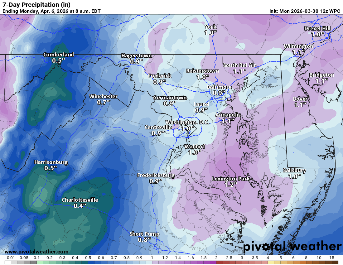
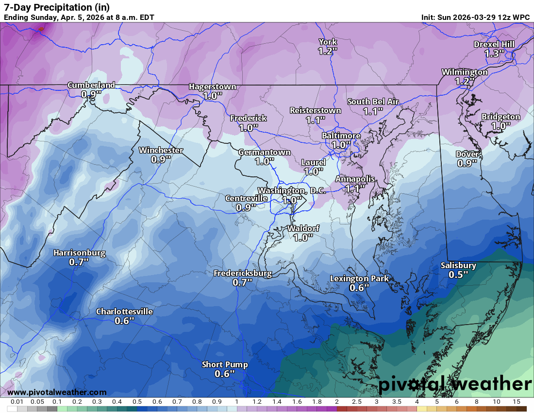
☔ Rain Ending Early This Afternoon
Skies clear and turn breezy this afternoon. Highs reach the upper 60s, though temps may fall some as we head through the afternoon.
🌬️ Cooler Days Ahead
Tomorrow highs near 60, and Tuesday really chilly with highs only near 50.
🥶 Freeze Risk Tuesday Night
We drop below freezing Tuesday night, so any tender vegetation may need to be covered.
🌫️ Frost Possible Again Wednesday Night
Colder conditions relax some on Wednesday with highs in the mid 50s, but frost is still possible late Wednesday night. Again, keep that tender vegetation protected.
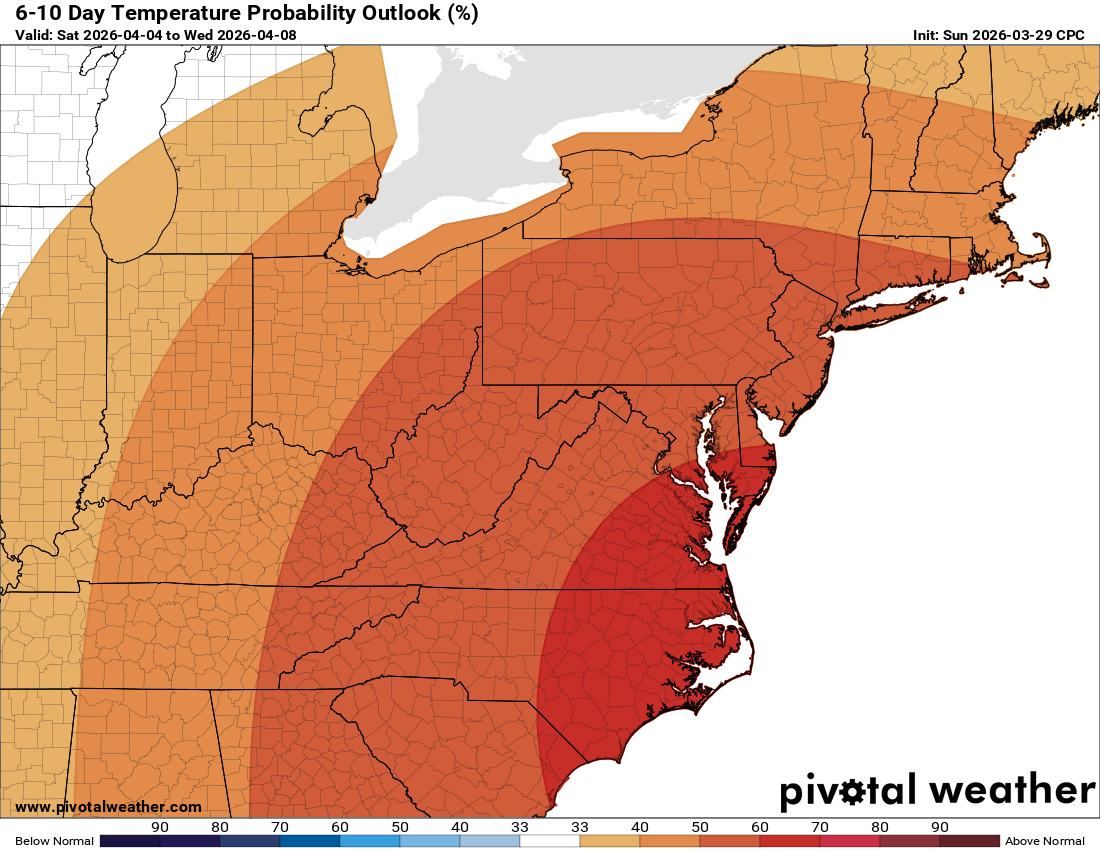
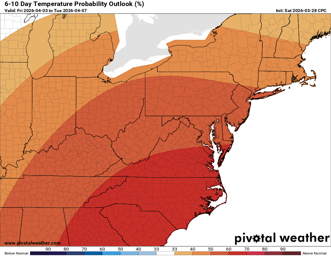
🌤️ Warming Up Late Week
Temperatures start to rebound Thursday into the 60s, near 70 on Friday, and mid to upper 70s on Saturday. Just a cold shot in the middle of the week, then we warm right back up.
The forecast:
Today: Hi 69 🌧️100% Lo 39 🌙 – Showers mainly before 1pm, then mostly clear
tonight. South wind 10-15 mph becoming northwest with gusts to 25 mph.
Monday: Hi 60 ☀️ Lo 40 🌙 – Sunny with west wind 11-14 mph, gusts to 24
mph. Mostly clear tonight.
Tuesday: Hi 49 ☀️ Lo 28 🌙 – Sunny with northwest wind 14-16 mph, gusts to
25 mph. Clear tonight.
Wednesday: Hi 54 ☀️ Lo 35 ⛅ – Sunny during the day, partly cloudy tonight.
Thursday: Hi 64 🌤️ Lo 44 🌙 – Mostly sunny during the day, mostly clear
tonight.
Friday: Hi 73 ☀️ Lo 50 🌙 – Sunny during the day, mostly clear tonight.
Saturday: Hi 77 🌤️ – Mostly sunny.
#loudoun #loudouncountyva #vawx #loudounweather #loudounva #virginiaweather
Please support Tree of Life Ministries, an important organization to me!
Facebook: https://facebook.com/loudounwx
Twitter: https://twitter.com/loudounwx
Instagram: https://www.instagram.com/loudounweather/
On the Web @ https://loudounweather.com