☀️ Gorgeous Friday!
Today and tomorrow look great with sunny, gorgeous skies. Today we stay in the 70s with some breezy conditions, and low 80s tomorrow.
🌤️ Warming Up This Weekend
Sunday, we’re pushing into the upper 80s. We'll have to watch for a few showers and storms Sunday afternoon as the humidity starts to creep up.
🔥 Mid-Week Heat Wave
The heat really arrives Monday and sticks around through Wednesday. We’re looking at highs in the 90s for the start of the week. Tuesday looks particularly intense, with temperatures potentially reaching the mid- to upper 90s in some spots. It's going to be crazy hot for this time of year!
⛈️ Storm Watch & Relief
Storms show up on Wednesday, and some of those could be strong to severe. We'll keep a close eye on how that pans out. By Thursday, those storms will knock the temperatures back down to around the 80 mark with a few lingering showers.
📅 Long Range Outlook
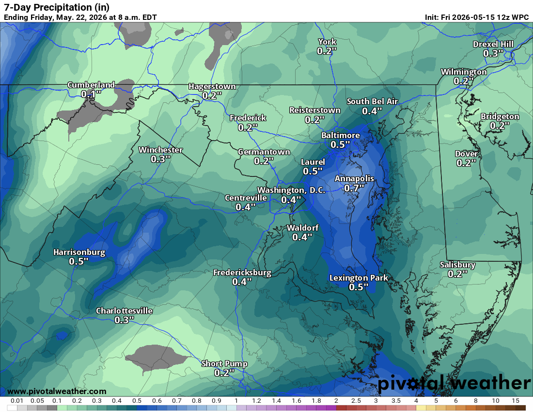
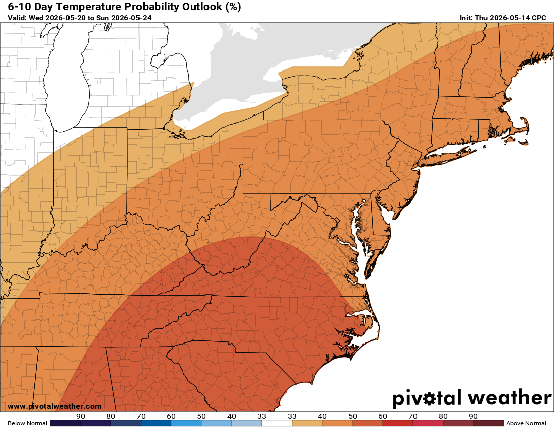
Temperatures should remain near or slightly above normal heading into the holiday. We are watching for potential rain for Memorial Day weekend, but since it’s so far off, we’ll see if the models hold up. We still need the rain, so hopefully we get some!
The forecast:
Today: Hi 71 🌤️ Lo 48 🌙 – Mostly sunny with wind 9-14 mph gusting to 24 mph
Saturday: Hi 82 ☀️ Lo 61 ☁️ – Sunny and warm
Sunday: Hi 88 🌦️30% Lo 63 🌙 – Hot, partly sunny with chance of showers and
thunderstorms
Monday: Hi 92 ☀️ Lo 67 🌙 – 🥵 Hot
Tuesday: Hi 94 ☀️ Lo 70 ⛅ – 🥵 VERY HOT!
Wednesday: Hi 90 🌦️50% Lo 63 🌧️40% – Mostly sunny with chance of showers
and thunderstorms
Thursday: Hi 80 🌦️50% – A chance of showers and
thunderstorms
#loudoun #loudouncountyva #vawx #loudounweather #loudounva #virginiaweather
Please support Tree of Life Ministries, an important organization to me!
Facebook: https://facebook.com/loudounwx
Twitter: https://twitter.com/loudounwx
Instagram: https://www.instagram.com/loudounweather/
On the Web @ https://loudounweather.com