12/23/2025 – 🌨️Ice possible Friday! 🥶Very Cold Conditions return Monday!
🌥️ Clouds Clearing Today
After a cloudy start, skies will gradually improve. Highs will reach the low 50s.
☁️ Clouds Return Chritsmas Eve with rain late.
Christmas Eve brings increasing clouds with highs in the 50s. Rain showers overnight,
🌦️🎄Christmas Day showers then some improvement
A bit damp early, with highs around 50.
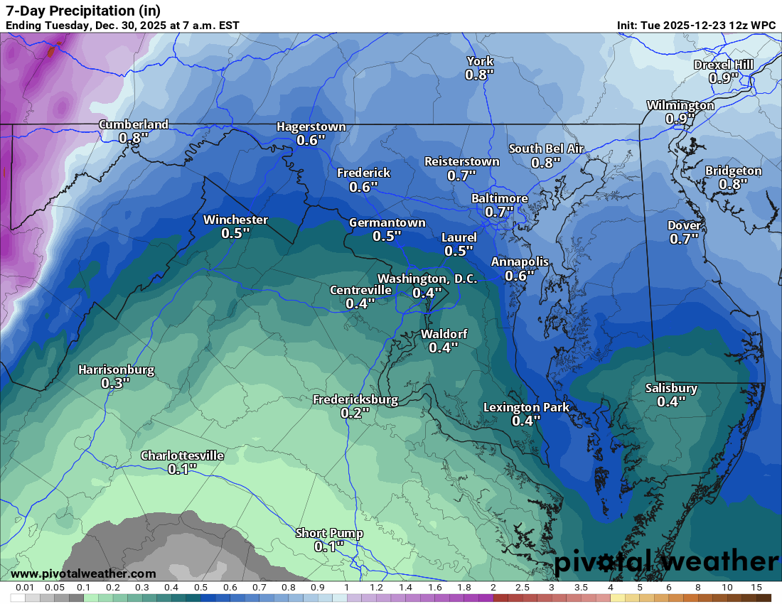
⚠️ Icy Setup Possible Thursday Night
The tricky part comes late Thursday into Friday. Some models hint at the chance for significant icing, depending on temps. Friday morning could start off with freezing rain then turn to cold raw rain with highs in the mid-30s.
🌡️ Cold Weekend Pattern
Temps rebound a bit this weekend with more rain Sunday into early Sunday Night
🌬️ Cold Air returns Monday
Expect highs struggling to hit 30 and cold wind chills.
Today: Hi 52 ⛅ Lo 38 🌙 – Becoming mostly sunny after a cloudy start
Wednesday: Hi 50 ⛅ Lo 34 ☁️20% – Increasing clouds, slight chance of rain after 1 am
Christmas Day: Hi 52 🌦️20% Lo 31 🌨️20% – Mostly cloudy with a slight chance of rain before early afternoon
Friday: Hi 37 🌧️80% Lo 33 🌧️60% – Rain or freezing rain likely before 1 pm, then rain
Saturday: Hi 46 ☁️ Lo 39 🌧️30% – Cloudy with a chance of rain after 1 am
Sunday: Hi 55 🌧️50% Lo 23 🌧️30% – Chance of rain through the day and night
Monday: Hi 30 ☀️ Lo 15 🌬️🌡️🥶 – Mostly sunny, blustery, and very cold
#loudoun #loudouncountyva #vawx #loudounweather #loudounva #virginiaweather
Please support Tree of Life Ministries, an important organization to me! https://www.tolministries.org
Facebook: https://facebook.com/loudounwx
Twitter: https://twitter.com/loudounwx
Instagram: https://www.instagram.com/loudounweather/
On the Web @ https://loudounweather.com