🔥 One Last Scorcher
We have another hot one today with temperatures climbing into the low 90s. This should be the final day of the current heat wave.
🌦️ Briefly Cooler Before a Saturday Warmup
A shower tonight or early tomorrow morning could provide a small break, with highs “tomorrow” staying in the low 80s. However, we heat right back up into the upper 80s on Saturday.
🌬️ Big Changes Sunday and Monday
Clouds increase Saturday evening with a shower possible late. A cold front overnight will knock temperatures way down. After some early Sunday showers, highs only reach the mid 60s. Monday stays much cooler and windy with highs in the mid 50s.
🌱 Frost Concern Monday Night
Keep an eye on tender vegetation Monday night as temperatures drop near or below freezing. We start to recover on Tuesday in the 60s, returning to the 70s by mid-week.
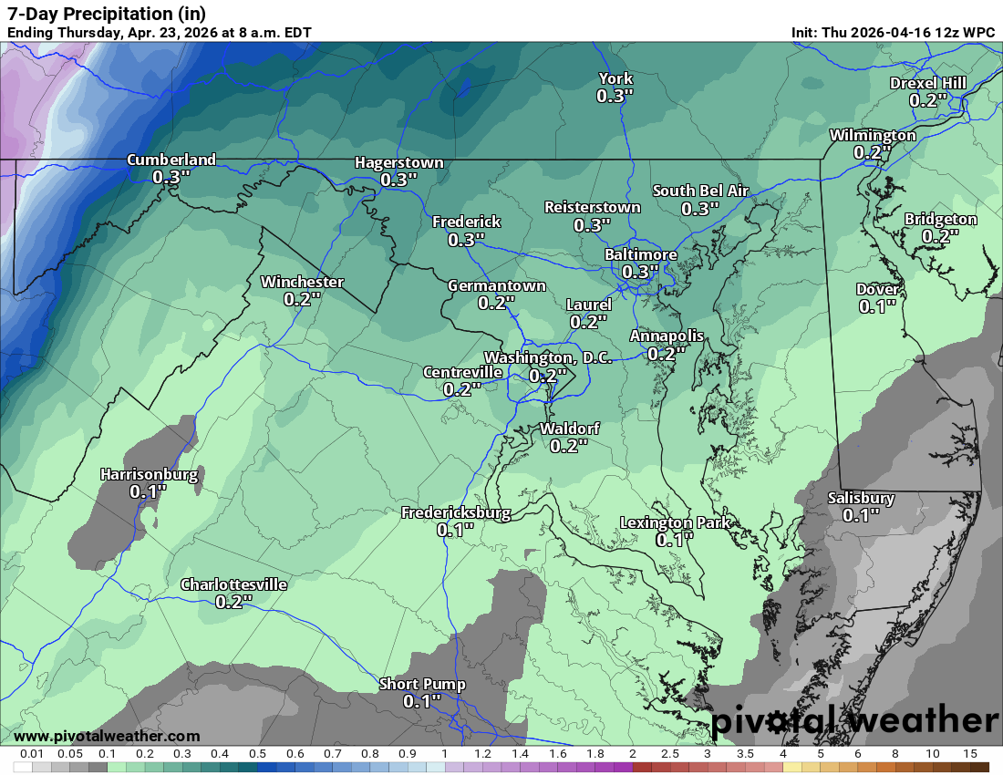
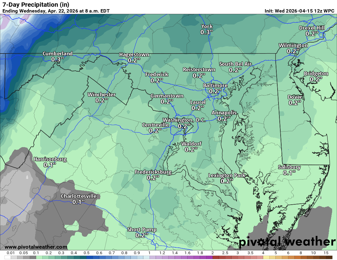
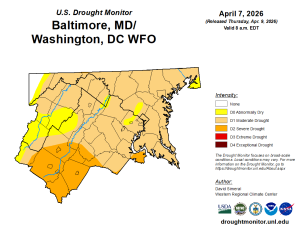
🌵Drought remains
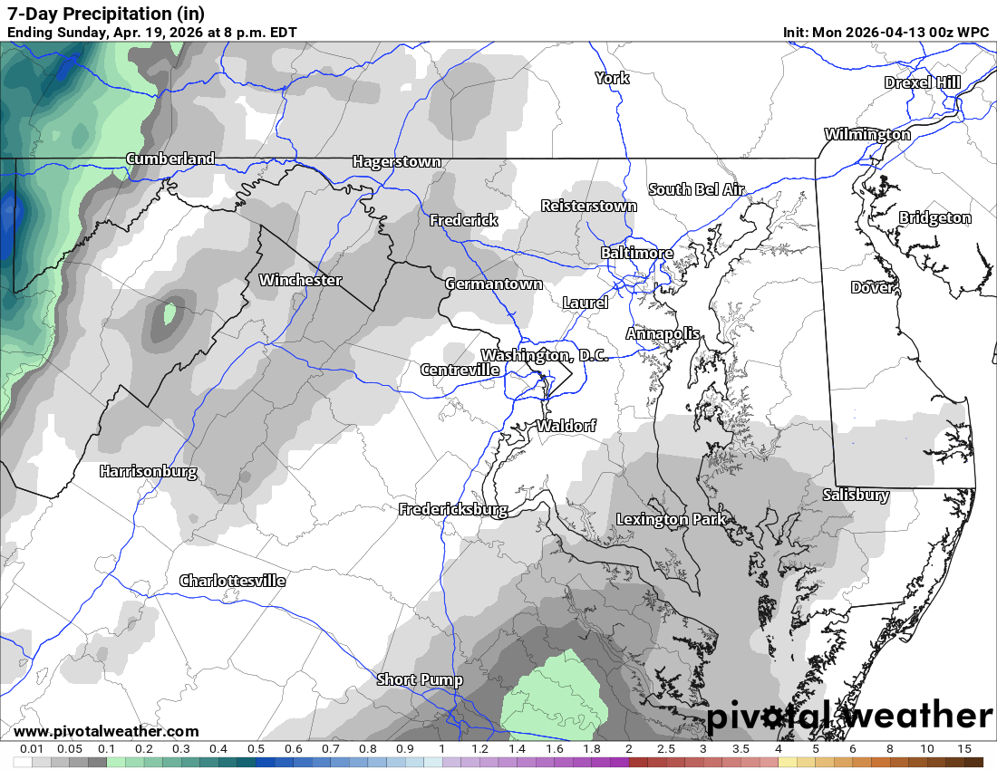
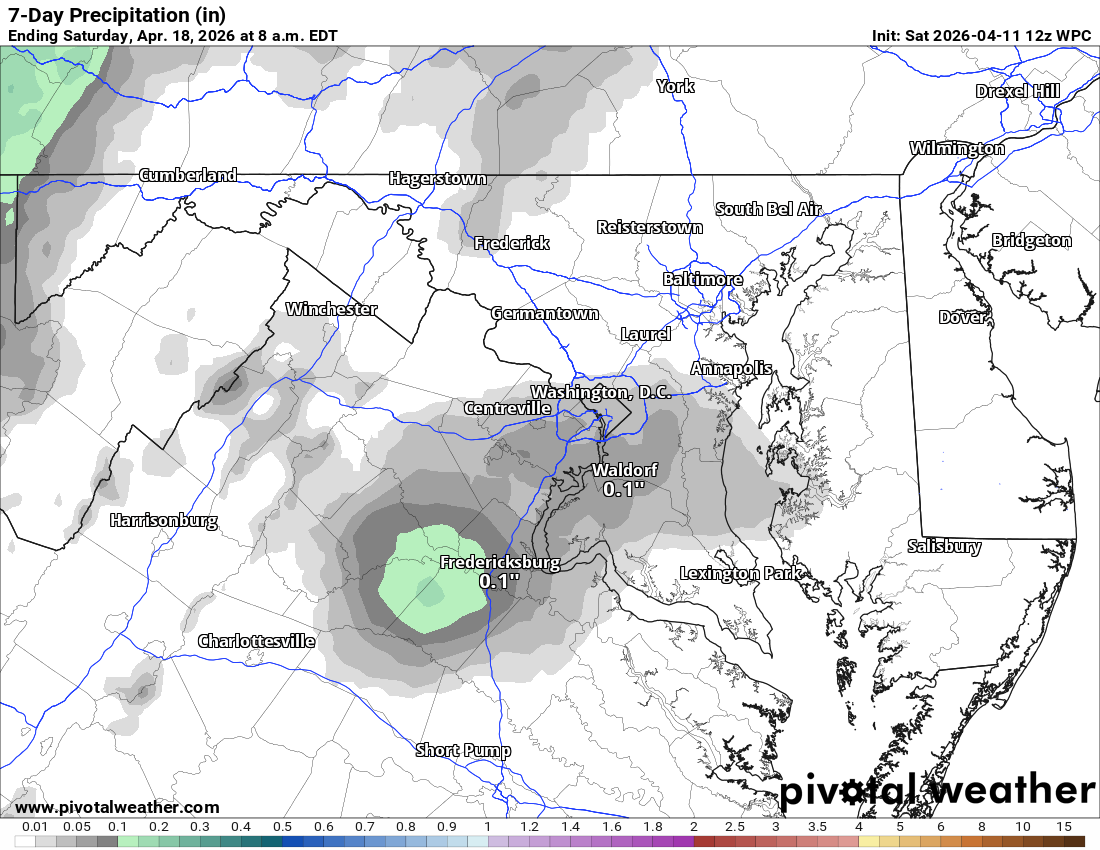
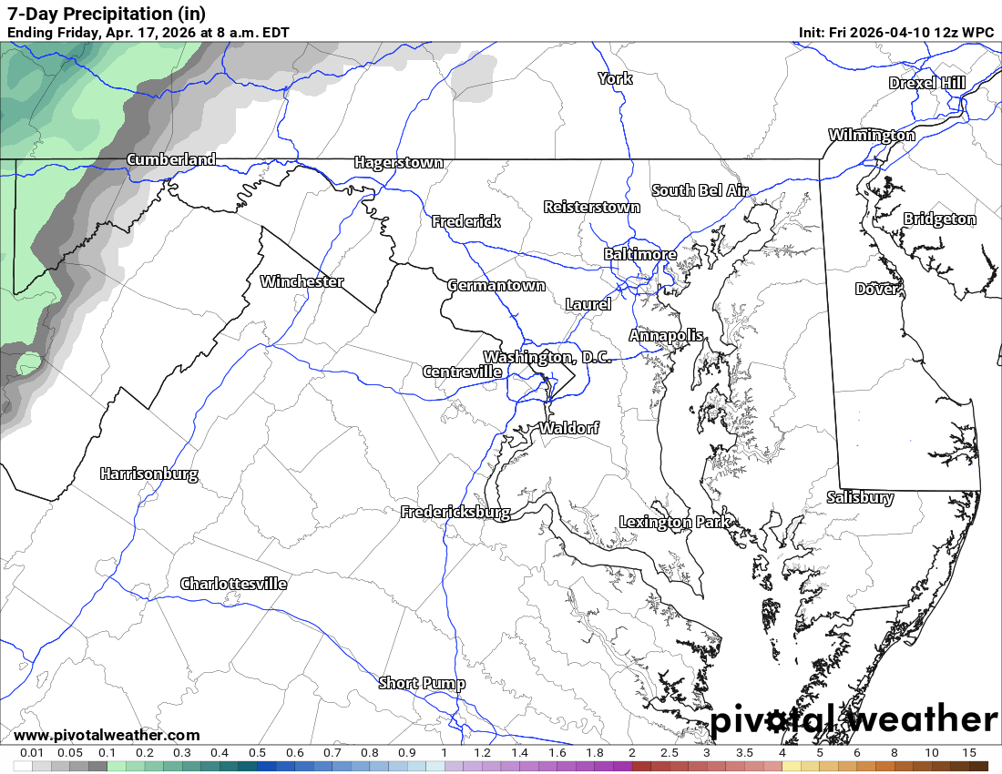
The drier weather for the region has made the drought worse, though we remain in a moderate drought; a lot of Virginia has gone to severe levels. We need more rain, and I do not like the small amounts in the forecast.
The Forecast:
Today: Hi 91 🌞 Lo 64 🌧️20% – 🥵 Mostly sunny becoming cloudy with isolated
showers after 11pm
Friday: Hi 80 🌞 Lo 58 🌙 – Mostly sunny and breezy
Saturday: Hi 88 🌦️20% Lo 53 🌧️60% – Mostly sunny with slight chance of
afternoon showers, then showers likely at night
Sunday: Hi 60 🌧️60% Lo 37 🌧️30% – Showers likely mainly before 2pm, then
chance of evening showers
Monday: Hi 54 ☀️ Lo 33 🌙 – Sunny, breezy, and clear. Frost/Freeze concern at night.
Tuesday: Hi 65 ☀️ Lo 49 ⛅ – Sunny becoming partly cloudy at night
Wednesday: Hi 74 🌤️ – Mostly sunny
#loudoun #loudouncountyva #vawx #loudounweather #loudounva #virginiaweather
Please support Tree of Life Ministries, an important organization to me!
Facebook: https://facebook.com/loudounwx
Twitter: https://twitter.com/loudounwx
Instagram: https://www.instagram.com/loudounweather/
On the Web @ https://loudounweather.com