Still a Bit of a Chill to Close Out the Week!
🧥 Chilly Today
Highs only reach around 50°F today. Tonight drops into the mid- to upper-30s.
🍃 Warmer but Breezy Tomorrow
Upper 50s Wednesday, but it'll be a breezy one.
🌦️ Best Day of the Week: Thursday
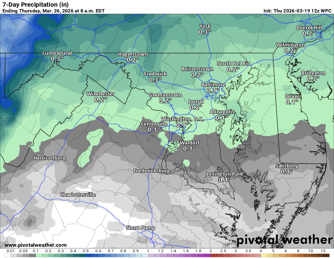
Low 70s Thursday! A slight shower chance late in the afternoon, around 20%, but rain becomes more likely Thursday night into Friday.
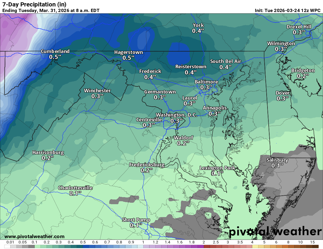
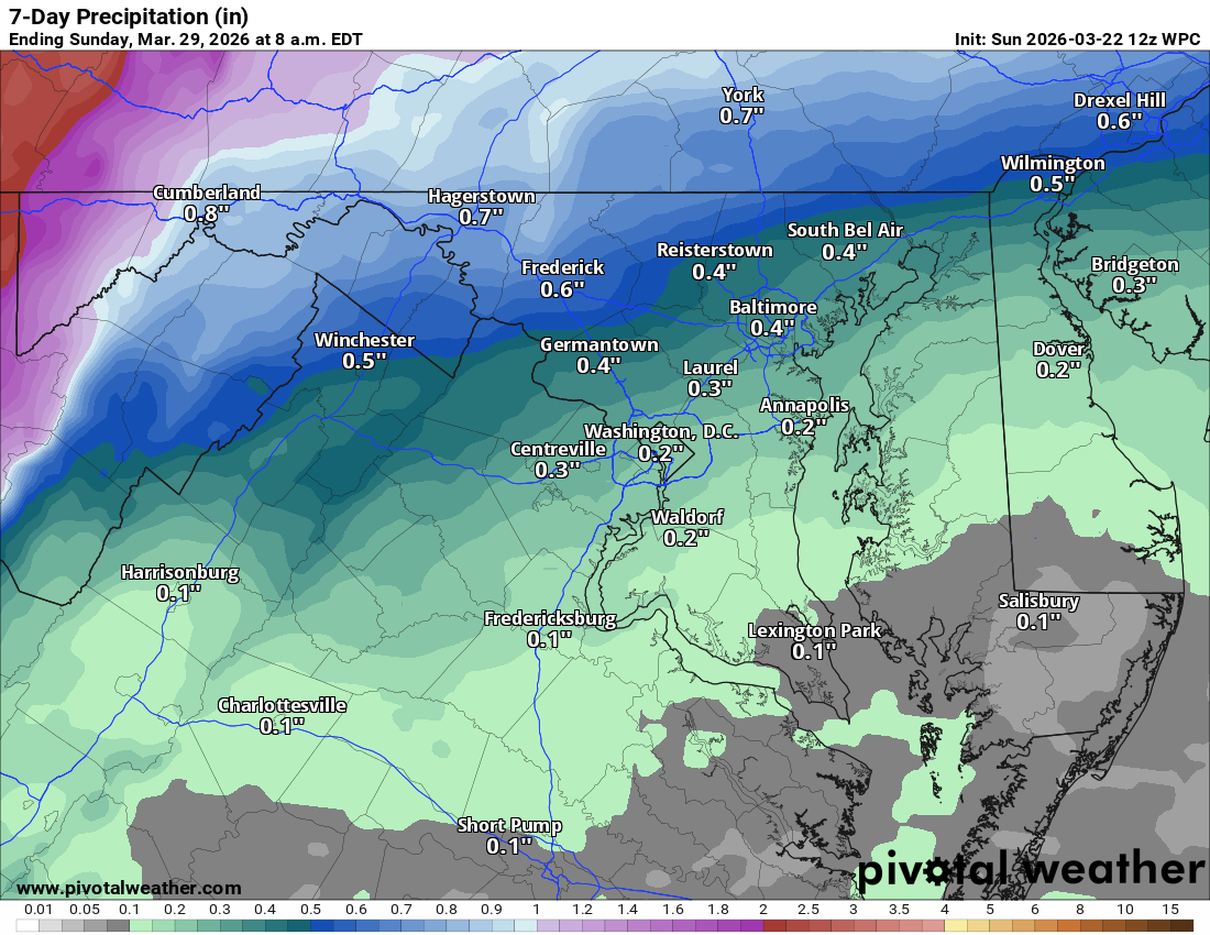
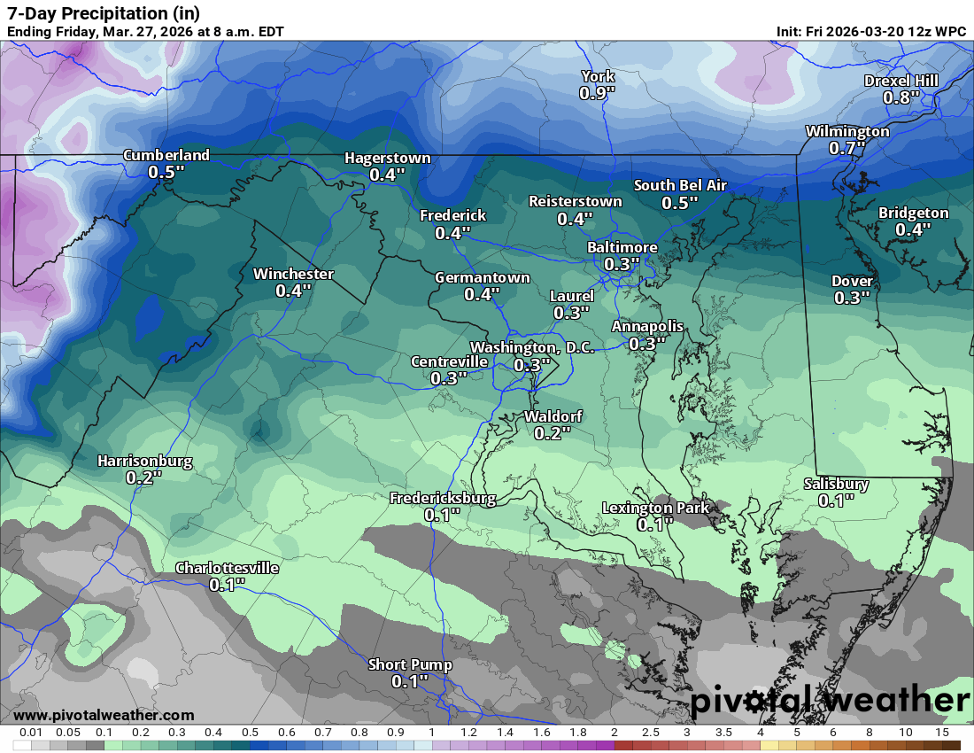
🌧️ Rainy Friday, Cooler Weekend
Low 60s Friday with showers. Saturday back down to around 50, upper 50s Sunday.
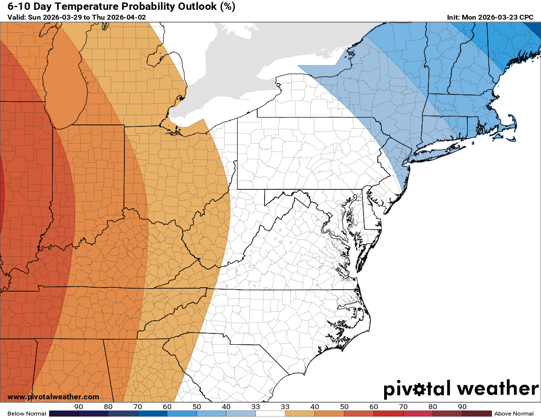
☀️ Gradual Recovery Next Week
Low to mid 60s by Monday and climbing from there.
🔭 Long Range Watch
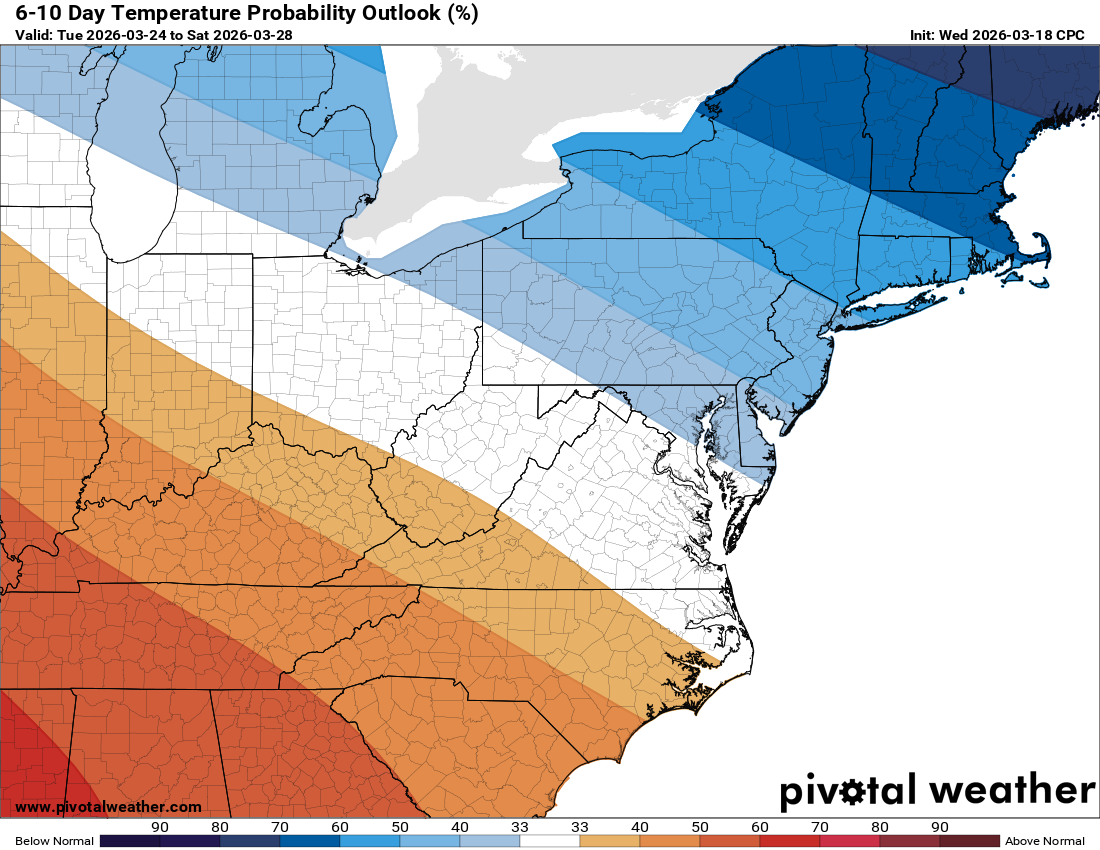
Still looking like a turn toward very warm conditions as we head into April. Wouldn't be surprised to see the 80s make an appearance at some point!
The Forecast
Today: Hi 49 ☀️ Lo 35 ☁️ – Sunny becoming increasing clouds
Wednesday: Hi 58 🌤️ Lo 46 ☁️ – Partly sunny, breezy with gusts to 18 mph
Thursday: Hi 72 ⛅ 20% Lo 54 🌧️ 70% – Partly sunny with slight chance of
afternoon rain, then rain likely and possibly thunderstorms after 2am
Friday: Hi 61 🌧️ 60% Lo 30 🌧️ 30% – Rain likely mainly before 2pm, then
chance of evening rain
Saturday: Hi 49 ☀️ Lo 29 🌙 – Sunny and clear
Sunday: Hi 57 ☀️ Lo 39 ☁️ – Sunny becoming mostly cloudy
Monday: Hi 64 🌤️ Lo 44 🌙- Mostly sunny
#loudoun #loudouncountyva #vawx #loudounweather #loudounva #virginiaweather
Please support Tree of Life Ministries, an important organization to me!
Facebook: https://facebook.com/loudounwx
Twitter: https://twitter.com/loudounwx
Instagram: https://www.instagram.com/loudounweather/
On the Web @ https://loudounweather.com