12/2/2025
🌧️ Cold Rainy Tuesday
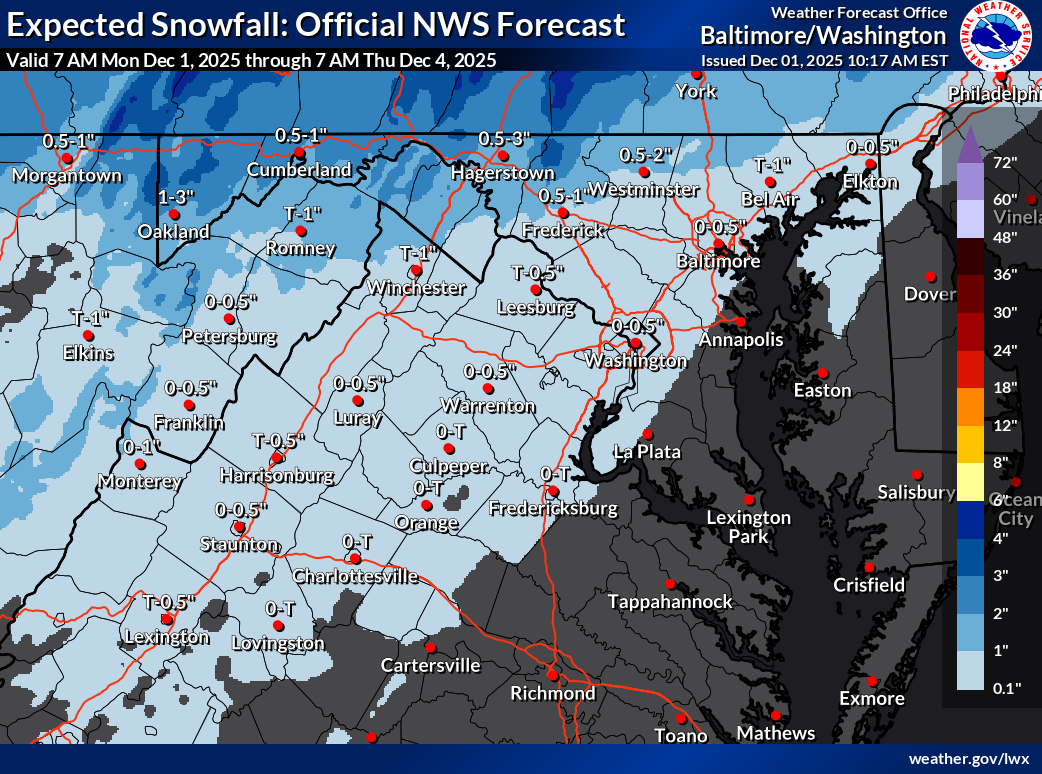
A wintry start this morning with sleet and freezing rain has turned to a chilly rain. Temps stay stuck in the 30s through the day with showers lingering into the evening.
🌬️ Chilly
Wednesday and Thursday will see highs around 40. Cold air drops temps fast on Thursday night with lows plunging into the teens.
🌨️ Watching Friday Night Snow
Friday stays cold with highs near freezing. A slight chance of snow arrives Friday night into early Saturday, though it remains uncertain. Keep an eye on the forecast.
🌡️ Chilly Weekend Ahead
Saturday reaches the mid 40s and Sunday stays around 40. Monday looks colder with highs only in the low to mid 30s.
❄️ Snow Chances Early Next Week
Colder air sticks around, and we’re watching for another shot at snow next week if the moisture lines up.
The forecast:
Today: Hi 40 🌧️100% Lo 24 🌙 – Rain through early afternoon with patchy fog, clearing by evening under mostly clear skies
Wednesday: Hi 40 ☀️ Lo 23 🌙 – Sunny during the day and mostly clear overnight
Thursday: Hi 41 ⛅ Lo 16 🌙 – Partly sunny and breezy, becoming clear and colder overnight
Friday: Hi 33 ⛅ Lo 24 ❄️30% – Partly sunny during the day with a chance of snow late at night
Saturday: Hi 44 ⛅ Lo 26 ☁️ – Partly sunny, becoming mostly cloudy overnight
Sunday: Hi 40 ⛅ Lo 24 ☁️ – Partly sunny, with increasing clouds overnight
Monday: Hi 34 ⛅ Lo 24 ❄️30% – Partly sunny during the day with a slight chance of snow overnight
#loudoun #loudouncountyva #vawx #loudounweather #loudounva #virginiaweather
Please support Tree of Life Ministries, an important organization to me! https://www.tolministries.org
Facebook: https://facebook.com/loudounwx
Twitter: https://twitter.com/loudounwx
Instagram: https://www.instagram.com/loudounweather/
On the Web @ https://loudounweather.com