1/28/2026 – Watching the weekend, but snow is less likely! Will update early afternoon!
❄️ Chilly Day with a Surprise Snow Chance
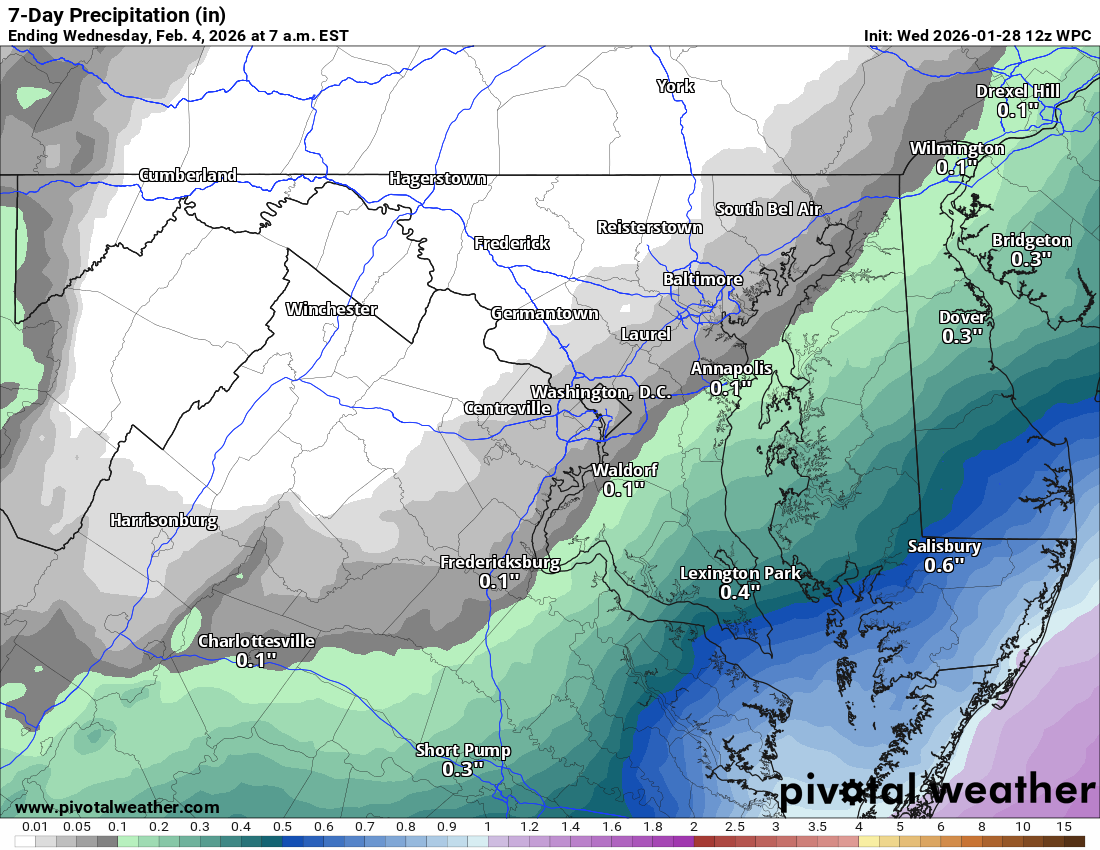
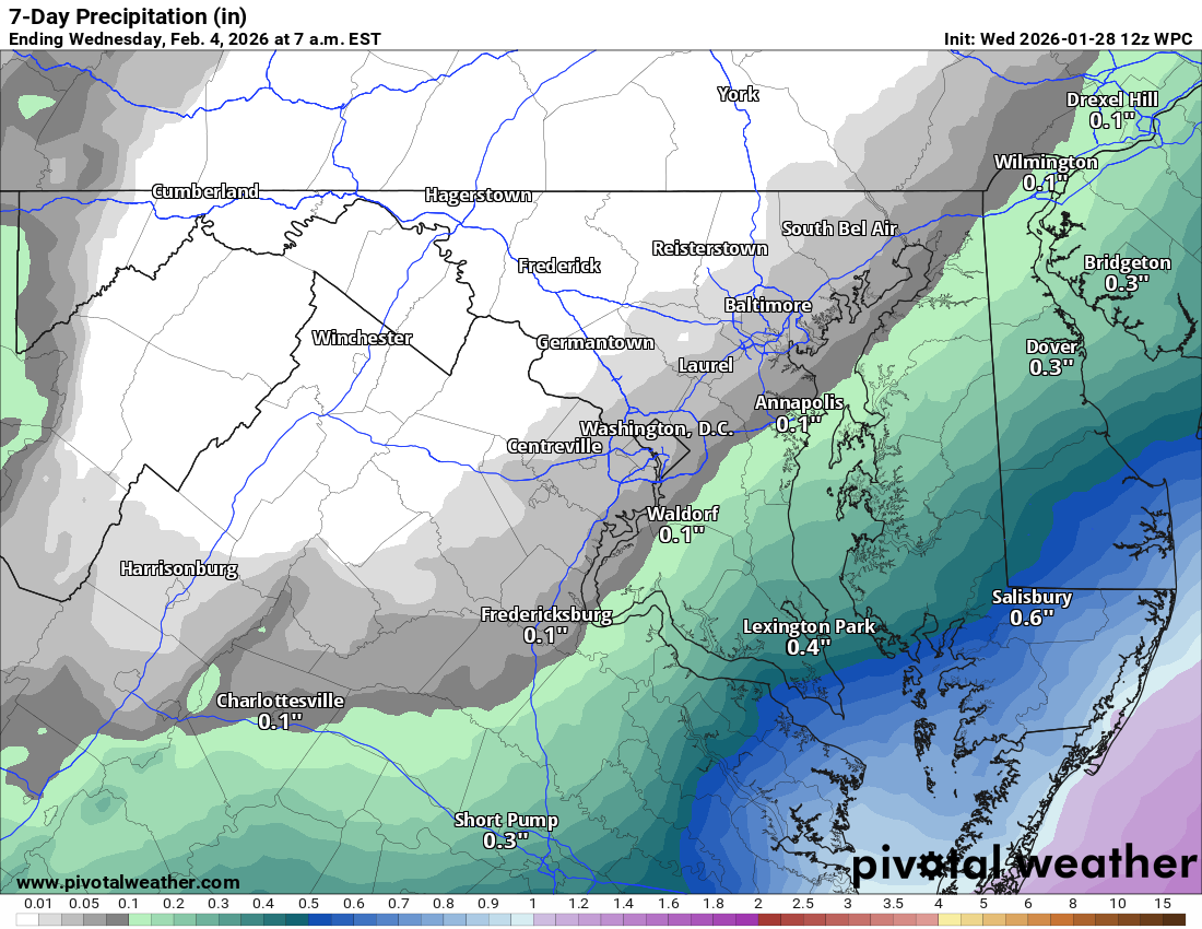
Highs around 20 today with a 20 to 30 percent chance of snow late this afternoon into early evening. The best chance is in eastern Loudoun, especially near rush hour.
🌙 Bitter Cold Tonight
Lows drop into the single digits. Highs stay
around 20 on Thursday and Friday.
🌨️ Watching the Weekend
Highs only in the teens on Saturday. Some snow is possible Saturday night into Sunday. Sunday will be cold and windy as a storm moves off to our east.
🌡️ Slight Warmup Next Week
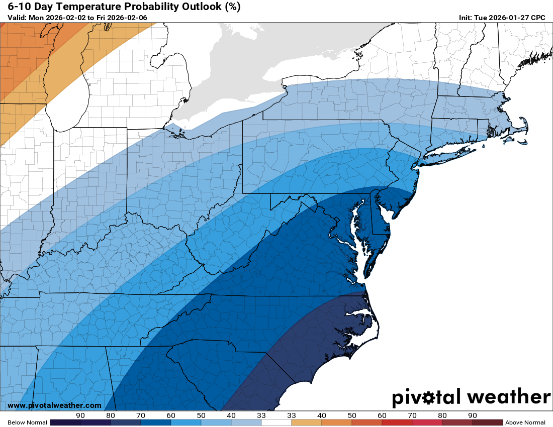
Highs climb into the 30s on Monday and could push above freezing by Tuesday. That will end a very long stretch of below-freezing weather!
📅 Typical Snow Window
This is the usual stretch for snow. While the trend looks colder and drier, a system could pop up as we head into later next week.
The forecast:
Today: Hi 21 ⛅ Lo 4 🌙 – Increasing clouds during the day, becoming partly cloudy overnight
Thursday: Hi 22 ☀️ Lo 5 🌙 – Mostly sunny during the day, mostly clear at night
Friday: Hi 20 ☀️ Lo 5 ☁️ – Mostly sunny, turning mostly cloudy overnight
Saturday: Hi 17 ⛅ Lo 10 ☁️ – Partly sunny and cold, mostly cloudy and blustery overnight
Sunday: Hi 23 ⛅ Lo 13 🌙 – Partly sunny and breezy, partly cloudy and blustery overnight
Monday: Hi 31 ☀️ Lo 13 🌙 – Mostly sunny during the day, partly cloudy overnight
Tuesday: Hi 33 ☀️ Lo 20 🌙 – Mostly sunny with a clear and cold night
#loudoun #loudouncountyva #vawx #loudounweather #loudounva #virginiaweather
Please support Tree of Life Ministries, an important organization to me! https://www.tolministries.org
Facebook: https://facebook.com/loudounwx
Twitter: https://twitter.com/loudounwx
Instagram: https://www.instagram.com/loudounweather/
On the Web @ https://loudounweather.com