12/3/2025
❄️ Cold Pattern Setting Up
Enjoy the sunshine today and tomorrow with highs near 40°F, but things turn colder by Thursday night.
🌬️ Cold Friday
Cold air pours in with highs struggling to hit freezing and nighttime lows diving into the teens Thursday night. Some light snow is possible Friday, but details will need to be refined as it is a dynamics-driven system compared to a normal low-pressure setup! This is a tough situation for models to get correct.
🌡️ Chilly Weekend
Saturday and Sunday stay cold with highs around 40°F and continued dry conditions. Bundle up!
🌨️ Watching a Monday System
A southern storm could clip us with snow Monday, depending on the track. The American model is interesting, but the European says no. Too early to call, but worth watching.
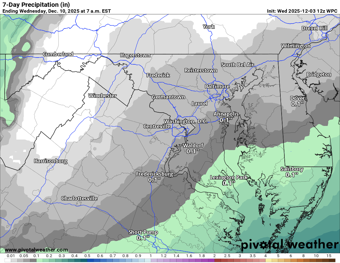
Overall, it's a dry but cold stretch. Stay warm and enjoy this nice Wednesday while it lasts!
The forecast:
Today: Hi 40 🌤️ Lo 24 🌙 – Mostly sunny, becoming mostly clear tonight
Thursday: Hi 40 ⛅ Lo 17 🌙 – Partly sunny, becoming partly cloudy overnight
Friday: Hi 33 ⛅❄️30% Lo 23 ❄️🌧️20% – Mostly cloudy with a chance of snow in the afternoon, slight chance of snow and freezing rain at night
Saturday: Hi 43 ⛅ Lo 26 ☁️ – Partly sunny during the day, becoming mostly cloudy overnight
Sunday: Hi 40 ☁️ Lo 26 ☁️ – Mostly cloudy
Monday: Hi 35 ☁️❄️❓ Lo 20 ☁️ – Mostly cloudy (watching for snow)
Tuesday: Hi 36 ⛅ Lo 18 🌙 – Partly sunny and continued cold
#loudoun #loudouncountyva #vawx #loudounweather #loudounva #virginiaweather
Please support Tree of Life Ministries, an important organization to me! https://www.tolministries.org
Facebook: https://facebook.com/loudounwx
Twitter: https://twitter.com/loudounwx
Instagram: https://www.instagram.com/loudounweather/
On the Web @ https://loudounweather.com