❄️ Cold Night, Another Freeze Possible Tonight
Many spots dropped into the upper 20s overnight, so hard freezes did occur. Anything left uncovered was likely impacted. Today we rebound a bit with highs in the low to mid 50s, but that's still cold enough to dip below freezing again tonight. A freeze watch may be upgraded to a freeze warning later today, especially for western Loudoun County.
🌤️ Warming Trend Takes Hold
Tomorrow we climb into the lower 60s with overnight lows near 40. Friday brings us close to 70, and this weekend we're looking at the low 70s.
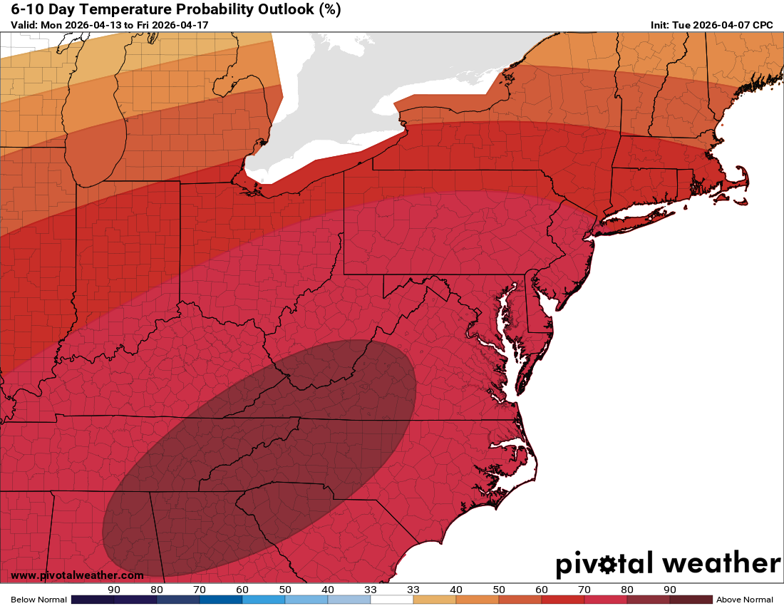
🌡️ Heat Building Next Week
Temperatures head into the 80s next week with a possible run at 90° mid-week if conditions line up. This will be a true early-season warm stretch.
🔥 Dry Conditions, Fire Danger Worth Watching
This is a dry trend. With low humidity, warm temps, and dry ground, brush fire risk will be something to keep an eye on.
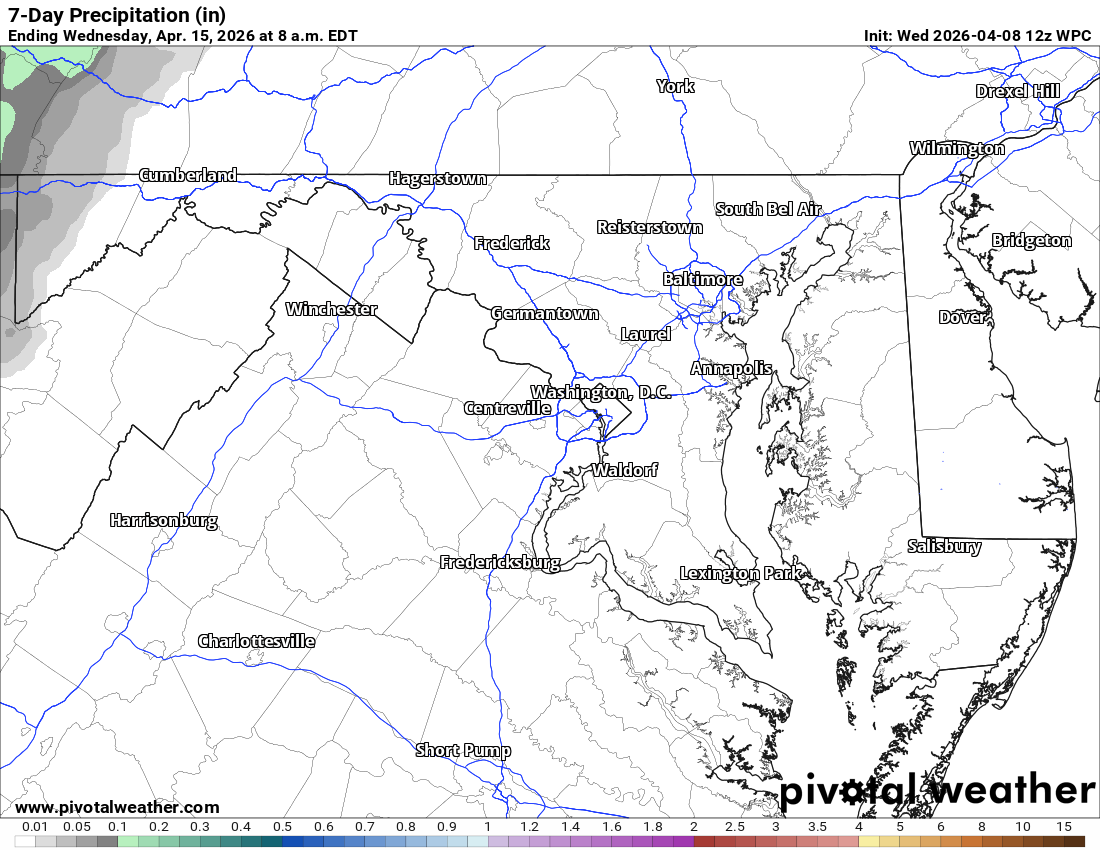
📉 Drought Concerns Continue
The longer range keeps us warmer than normal and below normal on precipitation. We had started to make some progress on drought conditions, but this stretch is going to set us back.
Today: Hi 53 ☀️ Lo 31 🌙 – Sunny becoming light southeast wind, then mostly
clear with widespread frost after 3am
Thursday: Hi 61 ☀️ Lo 38 🌙 – Widespread frost before 8am then mostly
sunny, mostly clear tonight
Friday: Hi 74 ☀️ Lo 52 🌙20% – Sunny with light south wind increasing, then
partly cloudy with slight chance of showers
Saturday: Hi 68 🌞 Lo 45 🌙 – Mostly sunny, mostly clear night
Sunday: Hi 71 🌞 Lo 55 🌙 – Mostly sunny, partly cloudy night
Monday: Hi 81 ⛅ Lo 63 ☁️ – Partly sunny, mostly cloudy night
Tuesday: Hi 86 🌞 – Mostly sunny
#loudoun #loudouncountyva #vawx #loudounweather #loudounva #virginiaweather
Please support Tree of Life Ministries, an important organization to me!
Facebook: https://facebook.com/loudounwx
Twitter: https://twitter.com/loudounwx
Instagram: https://www.instagram.com/loudounweather/
On the Web @ https://loudounweather.com