7/25/2025 –
🥵 Heat Advisory Today – Dangerous Heat Index Values
Actual highs in the mid 90s today, but heat index values soaring between 106–109°F.
⛈️ Isolated Strong Storm Possible
There's a slight 20% chance of an isolated shower or thunderstorm today. If one develops, it could be strong to severe, but most areas will stay dry.
🔥 Hot Pattern Holds Through Midweek
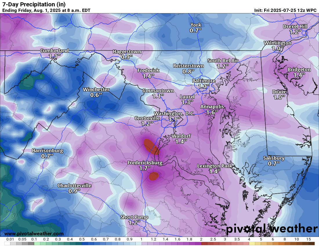
The heat continues into the weekend and early next week, with highs staying in the low to mid-90s. Daily chances for showers and storms increase and are likely Saturday and Sunday.
😎 Cooler Later Next Week
By Thursday, showers and storms are expected to arrive, ushering in cooler air for next weekend.
The forecast:
Today: Hi 96 🥵 Lo 73 ☁️ — 🥵 Mostly sunny with a slight chance of afternoon thunderstorms
Saturday: Hi 93 🌦️60% Lo 73 ☁️60% — 🥵 Showers and possible thunderstorms in the afternoon
Sunday: Hi 91 🌦️70% Lo 74 ☁️60% — Partly sunny with scattered afternoon storms
Monday: Hi 93 ⛅30% Lo 73 🌙30% — 🥵 Mostly sunny with a chance of showers late
Tuesday: Hi 96 ☀️ Lo 72 🌙 — 🥵 Mostly sunny
Wednesday: Hi 96 ☀️ Lo 69 ☁️ — 🥵 Mostly sunny
Thursday: Hi 85 🌦️40% Lo 65 🌧️ — Partly sunny and cooler with a chance of showers and storms
#loudoun #loudouncountyva #vawx #loudounweather #loudounva #virginiaweather
Please support Tree of Life Ministries, an important organization to me! https://www.tolministries.org
Facebook: https://facebook.com/loudounwx
Twitter: https://twitter.com/loudounwx
Instagram: https://www.instagram.com/loudounweather/
On the Web @ https://loudounweather.com
Please support Tree of Life Ministries, an important organization to me! https://www.tolministries.org
Facebook: https://facebook.com/loudounwx
Twitter: https://twitter.com/loudounwx
Instagram: https://www.instagram.com/loudounweather/
On the Web @ https://loudounweather.com