⚠️🔥 Heat Advisory in Effect
🥵 Scorching Hot Today and Tomorrow
Highs near 99 today and 98 tomorrow with a drier heat, keeping heat index values manageable. Feels better once the sun sets. Another heat advisory wouldn't surprise.
🌫️ Smoke in the Sky
Canadian wildfire smoke brings haze today and tomorrow, possibly easing the heat slightly.
🌦️ Relief Arrives Friday
Humidity rises and highs ease to the low 90s Friday, with a shower or storm possible late day or overnight. Showers and storms look likely Saturday as a northwest flow sets up.
☀️ Near Normal Into Next Week
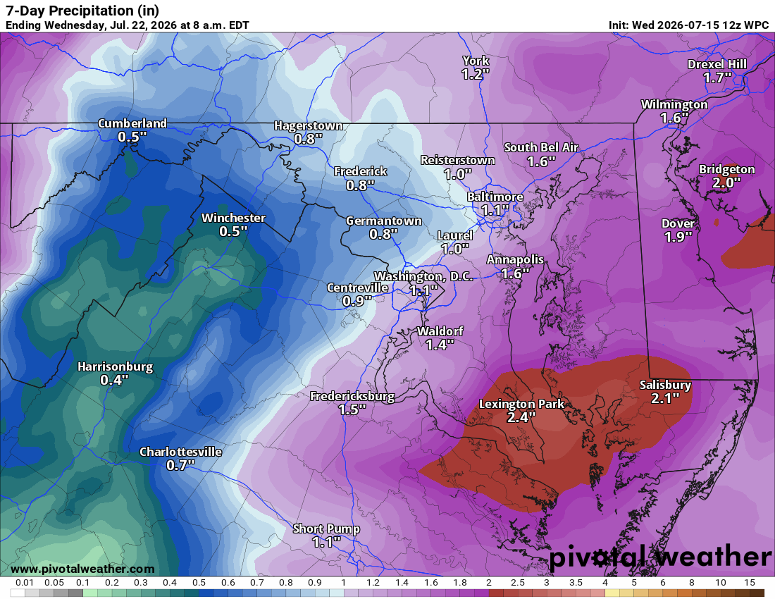
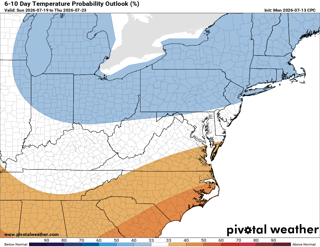
Sunday's mostly dry, then Monday looks sunny before better storm chances return Monday night into Tuesday. We're near the peak of summer heat, so upper 80s is actually normal, a nice break. Long range, temps trend normal or even below normal, with above normal rain chances, good news for the drought.
Stay cool!
The forecast:
Wednesday: Hi 99 🌡️☀️ Lo 75 ☁️ – Scorching hot and sunny, heat index up to 102. Partly cloudy overnight with a light west wind.
Thursday: Hi 98 🌡️☀️ Lo 72 ☁️ – Mostly sunny and dangerously hot, heat index up to 103. Partly cloudy overnight.
Friday: Hi 92 🥵🌦️ 20% Lo 71 🌧️ 50% – Mostly sunny with a slight chance of afternoon and evening showers and thunderstorms overnight.
Saturday: Hi 87 🌧️ 80% Lo 70 🌧️ 80% – Showers and possible thunderstorms likely through the day and into the overnight hours.
Sunday: Hi 88 🌦️ 30% Lo 67 🌧️ 30% – Mostly sunny with a chance of afternoon showers and thunderstorms, lingering storm chance in the evening.
Monday: Hi 88 ☀️ Lo 70 🌧️ 30% – Mostly sunny with a chance of overnight showers and thunderstorms.
Tuesday: Hi 89 ⛅ 50% Lo 68 – Partly sunny with a chance of showers and thunderstorms.
Please support Tree of Life Ministries, an important organization to me!
Facebook: https://facebook.com/loudounwx
Twitter: https://twitter.com/loudounwx
Instagram: https://www.instagram.com/loudounweather/
On the Web @ https://loudounweather.com