🥵 Heat Building Today
Highs climb into the low 90s today, just a bit above normal for mid July.
🌡️ Heat Wave Arrives Wednesday
Wednesday brings the real heat, with highs near 100 and heat index values up to 105. Not quite as humid as our last heat wave, but still use caution outside.
🔥 Hot Pattern Sticks Around
Thursday stays hot with highs near 98 to 100. A little relief Friday with highs in the low 90s.
⛈️ Weekend Storm Watch
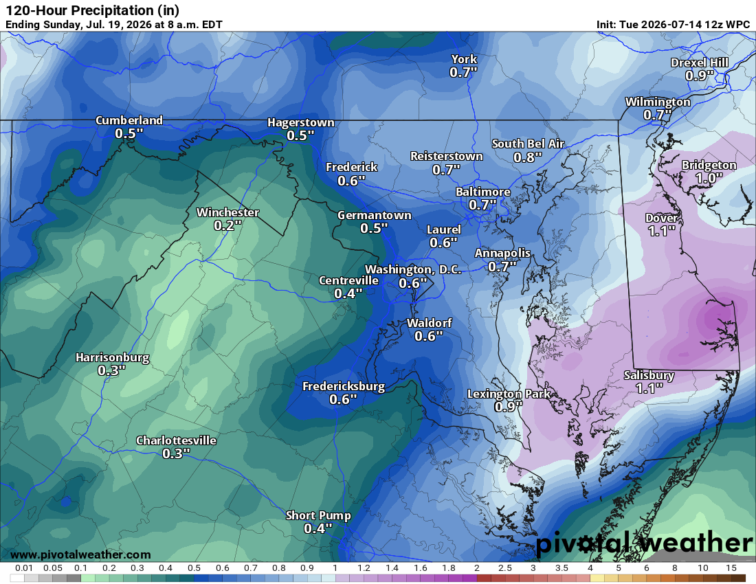
Highs ease into the upper 80s to around 90 Saturday through Monday, with showers and storms becoming likely Saturday night. We'll be watching for severe weather this weekend, with high wind the most likely threat.
🌦️ Better Rain Chances Ahead
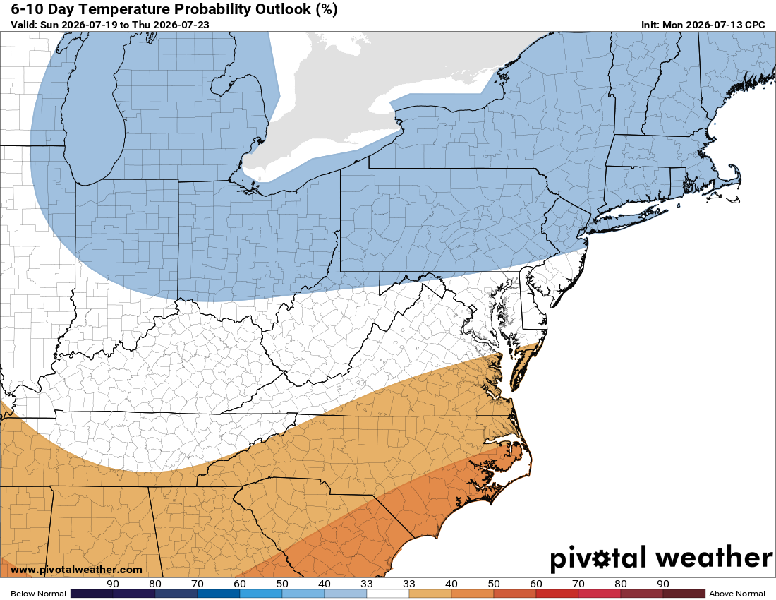
Beyond the weekend, temps trend near normal with an unsettled pattern bringing better rain chances, good news as we deal with drought conditions.
Have an awesome Tuesday, and get ready for that heat!
The forecast:
Tuesday: Hi 91 ☀️ Lo 71 – Sunny skies throughout the day
Wednesday: Hi 99 🌡️ Lo 75 – Dangerous heat with sunny skies, heat index up to 105°
Thursday: Hi 98 🌡️ Lo 72 – Mostly sunny and hot
Friday: Hi 93 🌤️ Lo 70 🌧️30% – Mostly sunny during the day, showers and storms possible late night
Saturday: Hi 87 🌦️50% Lo 70 🌧️60% – Showers with possible thunderstorms, likely continuing overnight
Sunday: Hi 88 🌦️50% Lo 68 🌧️30% – Showers and thunderstorms continuing overnight
Monday: Hi 87 🌦️30% Lo 70 🌧️ – Chance of showers and thunderstorms
#loudoun #loudouncountyva #vawx #loudounweather #loudounva #virginiaweather
Please support Tree of Life Ministries, an important organization to me!
Facebook: https://facebook.com/loudounwx
Twitter: https://twitter.com/loudounwx
Instagram: https://www.instagram.com/loudounweather/
On the Web @ https://loudounweather.com