Local weather. A little perspective.Loudoun County, VirginiaOfficial NWS alerts ↗
Loudoun County, Virginia

Category: Uncategorized

Loudoun County Weather Outlook for Wednesday, July 8, 2026

🌫️ Muggy and Unsettled Today
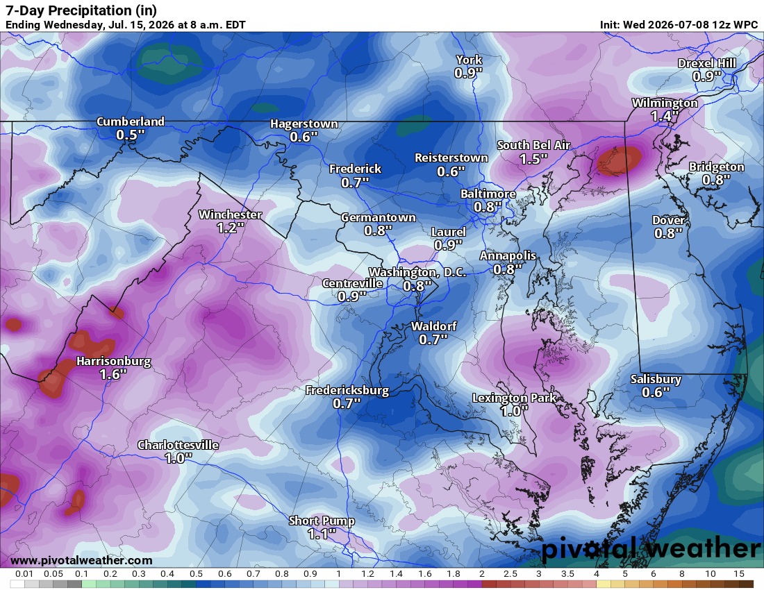
Another muggy day is on tap, with scattered showers around but not an all day washout. We started off foggy and things feel wet out there, and this muggy pattern sticks with us right through the weekend.

🌧️ Best Storm Chances Thursday and Friday
Tomorrow and tomorrow night bring a good chance of showers and thunderstorms, with Friday afternoon and evening looking like another good round.

☀️ Drying Out This Weekend
Storm chances taper off some by Saturday with around a thirty percent chance, dropping to about twenty percent Sunday and Monday as things dry out a bit and warm up.
💧 Welcome Rain
All this wet weather is bringing welcome relief to the trout, and everything has greened up nicely after the recent rain.

📈 Looking Ahead
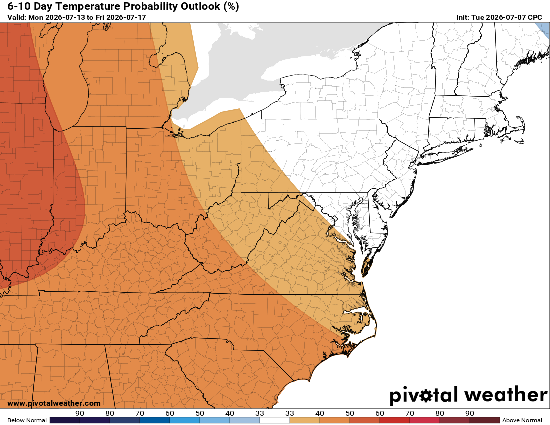
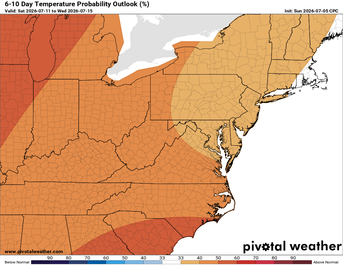
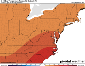
The long range continues to show an increased chance of showers and storms, with temperatures running slightly above normal.

The forecast:

Today: Hi 81 🌧️50% Lo 69 🌧️40%. Patchy fog this morning, scattered showers around midday, isolated storms tonight

Thursday: Hi 84 ⛈️80% Lo 68 🌧️60%. Showers and thunderstorms likely in the afternoon and evening, clearing overnight

Friday: Hi 87 🌦️70% Lo 67 🌧️60%. Mostly sunny with showers and thunderstorms developing in the afternoon, continuing into the evening

Saturday: Hi 83 🌦️30% Lo 64 🌧️30%. Mostly sunny with a chance of afternoon showers and thunderstorms, continuing into the evening

Sunday: Hi 83 🌤️20% Lo 64 🌧️20%. Mostly sunny with a slight chance of afternoon and evening showers and thunderstorms

Monday: Hi 84 🌤️20% Lo 65. Mostly sunny with a slight chance of showers and thunderstorms

Tuesday: Hi 88 ☀️. Sunny

Please support Tree of Life Ministries, an important organization to me!

Loudoun County Weather Outlook for Tuesday, July 7, 2026

🌫️ Foggy, Wet, Humid Start
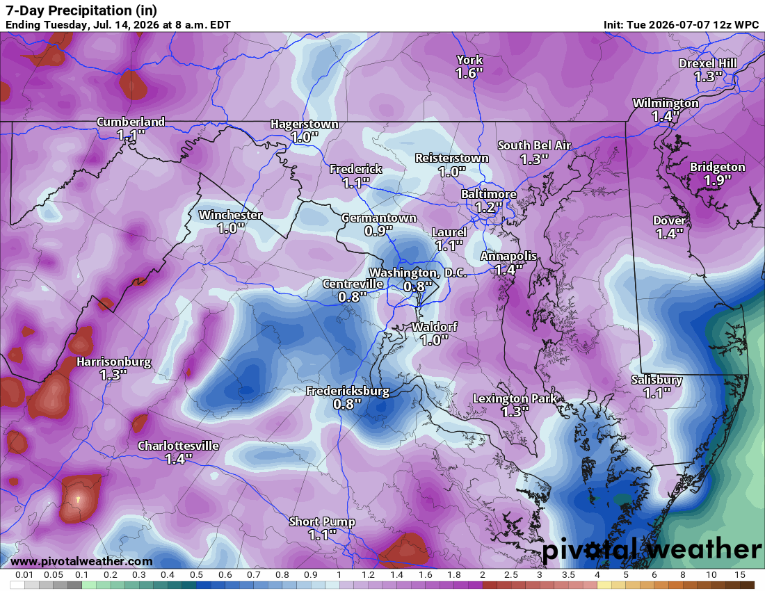
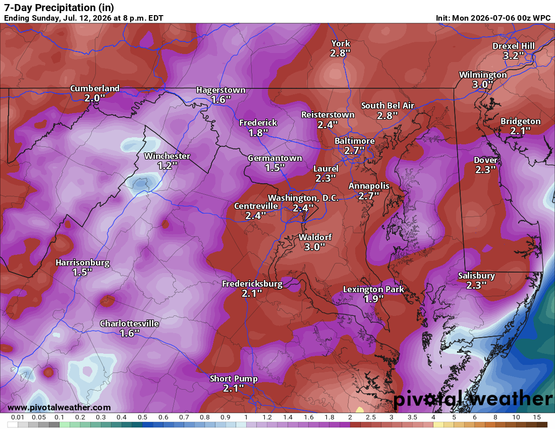
Foggy and muggy this morning. Overnight rain was hit or miss, some spots barely got a tenth of an inch, while southeastern Loudoun saw two to three inches, and Manassas, just south of Loudoun, picked up three to six.

🌧️ More Rain Today
Showers and storms become likely this afternoon, especially after 5pm. Otherwise partly sunny. Highs mid 80s, feeling warmer with humidity.

⛈️ Storms into Wednesday
More showers and storms tonight, scattered storms likely again Wednesday. Highs low 80s.

🌦️ Rain Sticks Around Thursday through Saturday
Rain chances continue daily. Temps warm some, not as much as first thought. Friday looks hottest, near 90, but moisture keeps it in check. Still muggy in the 80s.

☀️ A Bit Better Sunday
Rain chances drop to around 30 percent, highs back in the low 80s.

🌴 Tropical Pattern Continues
This warm, humid feel sticks into next week, bringing needed rain.

The forecast:
Today: Hi 83 🌦️40% Lo 67 🌧️80% – Showers and possible thunderstorms this afternoon into overnight, localized heavy rain possible

Wednesday: Hi 81 🌦️60% Lo 68 🌧️70% – Showers likely with possible afternoon and overnight storms, patchy morning fog

Thursday: Hi 85 🌦️90% Lo 68 🌧️80% – Showers and thunderstorms likely through the day and evening

Friday: Hi 88 🌦️40% Lo 68 🌧️40% – Mostly sunny with a chance of afternoon and evening thunderstorms

Saturday: Hi 84 🌦️50% Lo 65 🌧️40% – Partly sunny with a chance of showers and storms, lingering overnight

Sunday: Hi 82 🌦️30% Lo 64 🌧️20% – Partly sunny with a chance of showers and storms

Monday: Hi 86 🌦️20% Lo 64 – Mostly sunny with a slight chance of showers

#loudoun #loudouncountyva #vawx #loudounweather #loudounva #virginiaweather
Please support Tree of Life Ministries, an important organization to me! https://www.tolministries.org

Loudoun County Weather Outlook for Monday, July 6, 2026

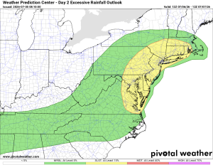
⚠️ Flood Watch in Effect 4 PM to Midnight Tonight
⚠️⚡ Marginal Severe Storm Risk Today

🥵 Humid and Stormy to Start the Week
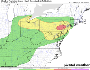
Good morning! It's very humid out there. Temps have come down some, but humidity keeps it sweaty. A good chance of storms today, and a flood watch is in effect 4 PM to midnight for excessive rainfall, especially from localized storms. Watch for flash flooding and don't drive through flooded roads. Also a marginal chance of a strong or severe storm today.

☀️ Typical Summer Pattern This Week
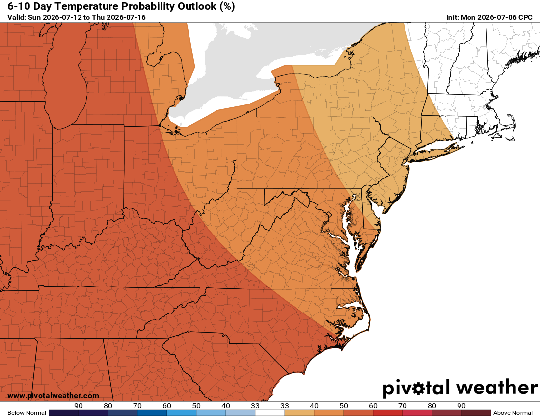
Hazy and humid all week, temps slowly warming. Highs near 90 today, low 80s tomorrow and Wednesday, back up near 90 Thursday through Saturday. Sunday could be nice with low rain chances and lower 80s for highs.

🌧️ Daily Rain Chances Continue
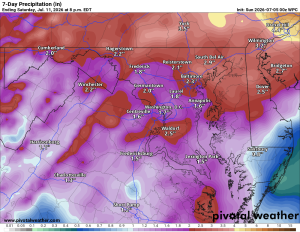
A chance of showers and storms sticks around all week, a bit more today and tomorrow, then a daily chance into the weekend, maybe better Saturday night. Good news for our drought.

The forecast:

Today: Hi 87 ⛈️60% Lo 67 🌧️80% – Patchy morning fog, then storms likely this afternoon and evening, heavy rain possible overnight

Tuesday: Hi 81 🌦️40% Lo 66 🌧️60% – Patchy morning fog, a chance of afternoon storms, becoming likely overnight

Wednesday: Hi 82 🌦️30% Lo 67 🌧️20% – A chance of morning showers, then partly sunny with a slight evening chance

Thursday: Hi 87 🌦️50% Lo 69 🌧️30% – Partly sunny with a slight chance of showers, storms possible in the afternoon and evening

Friday: Hi 87 🌦️50% Lo 69 🌧️40% – Mostly sunny with a chance of afternoon and evening storms

Saturday: Hi 85 ⛈️50% Lo 65 🌧️30% – Partly sunny with a chance of storms through the day and overnight

Sunday: Hi 83 🌦️20% Lo 63 – Looks NICE! Mostly sunny with a slight chance of showers

#loudoun #loudouncountyva #vawx #loudounweather #loudounva #virginiaweather
Please support Tree of Life Ministries, an important organization to me! https://www.tolministries.org

Loudoun County Weather Outlook for Sunday, July 5, 2026

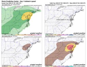
⚠️ ⚡ Severe Storms Possible!
⚠️ 😷 Air Quality Alert Today

🎆 Fireworks Continue in Ashburn Tonight
More fireworks in Ashburn again tonight. Good chance of showers and storms later today into tonight, and some could be strong to severe with a wind risk.

🥵 Still Hot Today
It's hot again today, not as extreme as the recent stretch, but still uncomfortable.

🌧️ Unsettled Pattern Continues
Tomorrow is cooler and humid with a good chance of showers and storms through the day and overnight. Tuesday cools more with another good chance of rain, though Wednesday looks less wet.

☀️ Warming Back Up Later This Week
We warm back up Thursday and Friday, highs near 90 into next weekend, with another chance of storms.

💧 Localized Flooding Possible
With all this moisture around, some spots could see localized flooding from heavy rain in thunderstorms.

The forecast:
Today: Hi 93 🥵⛈️60% Lo 69 🌧️80% – Partly sunny with showers and storms increasing this afternoon and evening, tapering off overnight

Monday: Hi 85 ⛈️60% Lo 67 🌧️90% – Patchy morning fog, then cloudy with showers and storms likely later in the day and evening

Tuesday: Hi 82 ⛈️70% Lo 66 🌧️60% – Mostly cloudy with increasing showers and storms through the day, tapering overnight

Wednesday: Hi 83 🌦️40% Lo 67 🌧️20% – Partly sunny with a chance of showers and storms, tapering off overnight

Thursday: Hi 88 🌦️30% Lo 69 🌧️30% – Mostly sunny with a slight chance of showers, increasing by afternoon

Friday: Hi 89 ⛈️60% Lo 68 🌧️60% – Partly sunny with showers and storms likely for much of the day

Saturday: Hi 86 🌦️40% – Mostly sunny with a chance of showers and storms

#loudoun #loudouncountyva #vawx #loudounweather #loudounva #virginiaweather
Please support Tree of Life Ministries, an important organization to me! https://www.tolministries.org


Loudoun County Weather Outlook for Saturday, July 4, 2026

⚠️🔥 Extreme Heat Warning Today
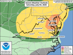
⚠️⚡ Severe Storms Possible This Afternoon
⚠️😷 Air Quality Alert Today
 
🇺🇸 Happy Independence Day!
Hot one today with an Extreme Heat Warning in effect. Stay cool out there.
 
⛈️ Severe Weather Threat This Afternoon
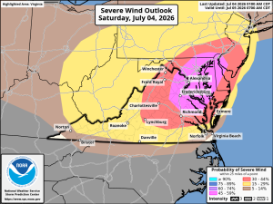
Severe weather risk this afternoon, mainly damaging winds, up to a 45% chance, especially eastern Loudoun. Stay weather aware.
 
🎆 Event Cancellations
Some July 4th events are already canceled due to heat, including the Leesburg and Fairfax parades. Check event sites for updates. I am also trying to keep https://nova4th.com up to date.
 
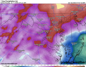
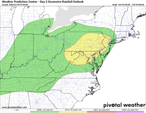
🌧️ ⚡️ ⚠️ Severe and Heavy Rain Possible Tomorrow
Showers and storms return tomorrow, with highs cooling into the low 90s in a cooler, wetter pattern.
 
🌦️ Unsettled Pattern Continues
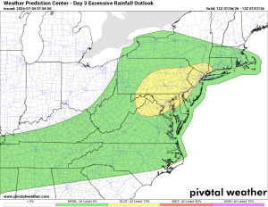
Showers and storms likely daily into next week, with flash flooding possible in heavier storms.
 
☀️ Heating Back Up Next Weekend
Temps climb again next weekend, near or slightly above normal. Hopefully this rain brings drought relief.
 
The forecast:
July 4th: Hi 98 ⛈️60% Lo 71 🌧️50% – 🌡️ Storms increasing by evening, easing to isolated showers overnight
 
Sunday: Hi 91 ⛈️60% Lo 69 🌧️80% – 🥵 Increasing clouds with showers and storms likely, continuing overnight
 
Monday: Hi 84 ⛈️80% Lo 67 🌧️80% – Showers and storms likely through the day and into the night
 
Tuesday: Hi 83 🌦️50% Lo 66 🌧️40% – Partly sunny with a chance of showers and storms
 
Wednesday: Hi 86 🌦️30% Lo 67 🌧️30% – Partly sunny with a slight chance of showers and storms
 
Thursday: Hi 89 🌦️30% Lo 70 🌧️30% – Partly sunny with a chance of showers and storms
 
Friday: Hi 91 🌦️30% Lo 73 🌧️ – 🥵 Mostly sunny with a chance of storms, lingering rain chance overnight
 
#loudoun #loudouncountyva #vawx #loudounweather #loudounva #virginiaweather
Please support Tree of Life Ministries, an important organization to me! https://www.tolministries.org