c3/3/2026
⏰ Wintertime is coming to an end!
That was likely winter's last hurrah. Yesterday, some folks reported between 2 and 3 inches of snow, and I definitely had over 2 inches on the deck here in Purcellville. We had a lot of freezing rain overnight, but fortunately roads are mostly clear. Things should warm up today. True winter should now be done, though might get a cold day here or there; a sustained winter pattern is over.
🌧️ Rain Chances Continue
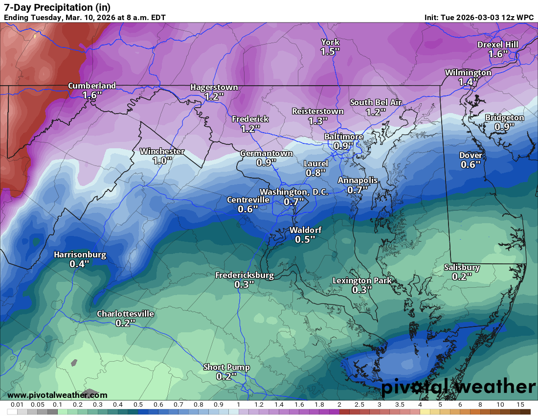
Rain remains in the forecast today as we stay unsettled with a front nearby. Highs will struggle to reach 45°F today before we start to see a gradual warming trend.
🌦️ Unsettled Week Ahead
We have a chance for showers every single day this week, except maybe Friday! Being so close to the front means the models are struggling; we could see 70s one day and 50s the next if the cold air nudges in. Models will struggle to see this, so do not be surprised by a quick change.
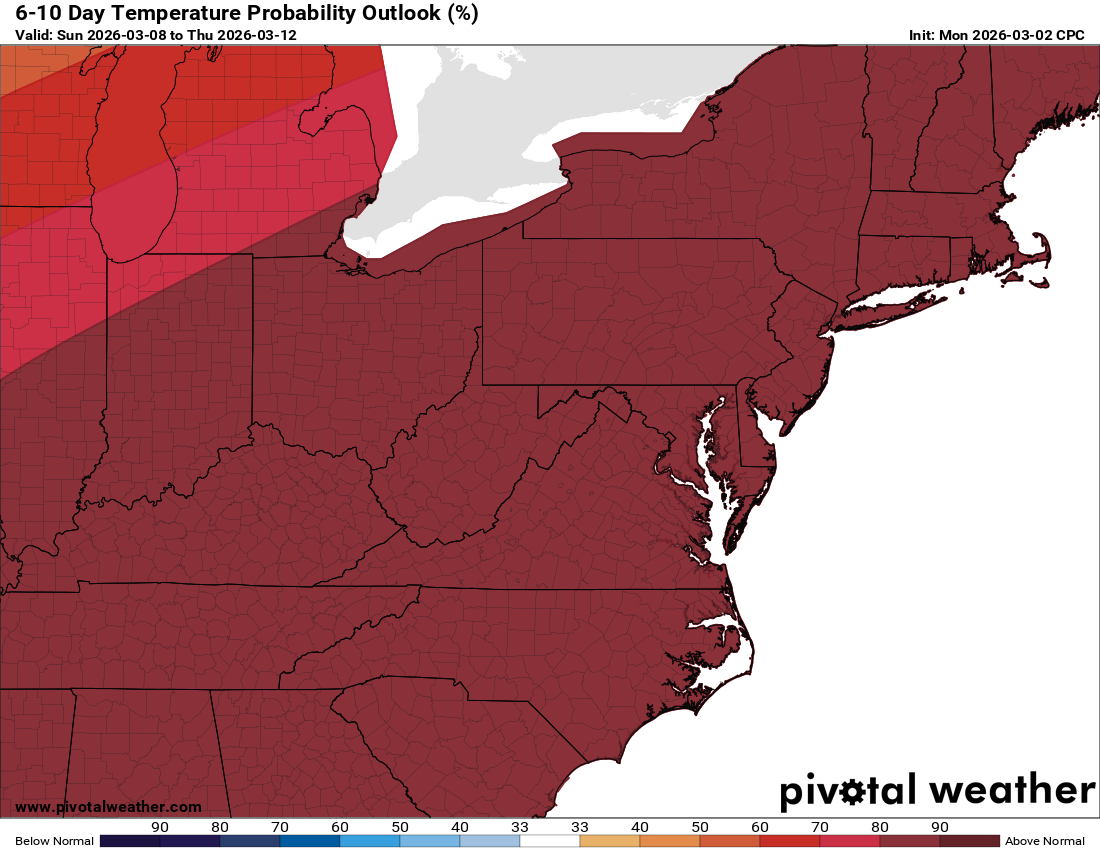
🌡️ Milder Pattern Building
We should hit 70s Friday, and that should last into next week (barring a surprise backdoor front messes things up!)
The Forecast:
Today: Hi 43 🌧️80% Lo 42 🌧️90% – Rain throughout the day with patchy fog, continuing into the night
Wednesday: Hi 57 🌧️60% Lo 48 🌧️70% – Rain likely, mainly in the afternoon
Thursday: Hi 69 🌦️⛈️50% Lo 54 🌧️60% – Mostly cloudy with a chance of showers and afternoon thunderstorms continuing overnight
Friday: Hi 73 🌞 Lo 51 ☁️ – Mostly sunny and pleasant
Saturday: Hi 74 🌦️30% Lo 57 🌧️50% – Partly sunny with a chance of afternoon showers
Sunday: Hi 72 🌦️40% Lo 54 🌧️30% – Mostly cloudy with a chance of showers
Monday: Hi 73 🌦️30% Lo 55 🌧️30% – Partly sunny with a chance of showers
#loudoun #loudouncountyva #vawx #loudounweather #loudounva #virginiaweather
Please support Tree of Life Ministries, an important organization to me! https://www.tolministries.org
Facebook: https://facebook.com/loudounwx
Twitter: https://twitter.com/loudounwx
Instagram: https://www.instagram.com/loudounweather/
On the Web @ https://loudounweather.com