🌫️ Foggy, Wet, Humid Start
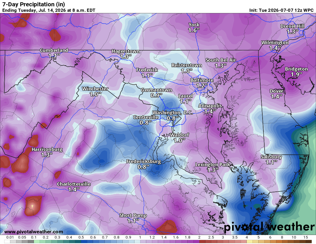
Foggy and muggy this morning. Overnight rain was hit or miss, some spots barely got a tenth of an inch, while southeastern Loudoun saw two to three inches, and Manassas, just south of Loudoun, picked up three to six.
🌧️ More Rain Today
Showers and storms become likely this afternoon, especially after 5pm. Otherwise partly sunny. Highs mid 80s, feeling warmer with humidity.
⛈️ Storms into Wednesday
More showers and storms tonight, scattered storms likely again Wednesday. Highs low 80s.
🌦️ Rain Sticks Around Thursday through Saturday
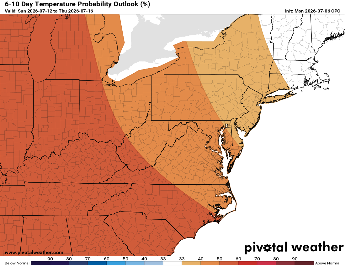
Rain chances continue daily. Temps warm some, not as much as first thought. Friday looks hottest, near 90, but moisture keeps it in check. Still muggy in the 80s.
☀️ A Bit Better Sunday
Rain chances drop to around 30 percent, highs back in the low 80s.
🌴 Tropical Pattern Continues
This warm, humid feel sticks into next week, bringing needed rain.
The forecast:
Today: Hi 83 🌦️40% Lo 67 🌧️80% – Showers and possible thunderstorms this afternoon into overnight, localized heavy rain possible
Wednesday: Hi 81 🌦️60% Lo 68 🌧️70% – Showers likely with possible afternoon and overnight storms, patchy morning fog
Thursday: Hi 85 🌦️90% Lo 68 🌧️80% – Showers and thunderstorms likely through the day and evening
Friday: Hi 88 🌦️40% Lo 68 🌧️40% – Mostly sunny with a chance of afternoon and evening thunderstorms
Saturday: Hi 84 🌦️50% Lo 65 🌧️40% – Partly sunny with a chance of showers and storms, lingering overnight
Sunday: Hi 82 🌦️30% Lo 64 🌧️20% – Partly sunny with a chance of showers and storms
Monday: Hi 86 🌦️20% Lo 64 – Mostly sunny with a slight chance of showers
#loudoun #loudouncountyva #vawx #loudounweather #loudounva #virginiaweather
Please support Tree of Life Ministries, an important organization to me! https://www.tolministries.org
Facebook: https://facebook.com/loudounwx
Twitter: https://twitter.com/loudounwx
Instagram: https://www.instagram.com/loudounweather/
On the Web @ https://loudounweather.com