🌦️ Humid With a Few Storms Today
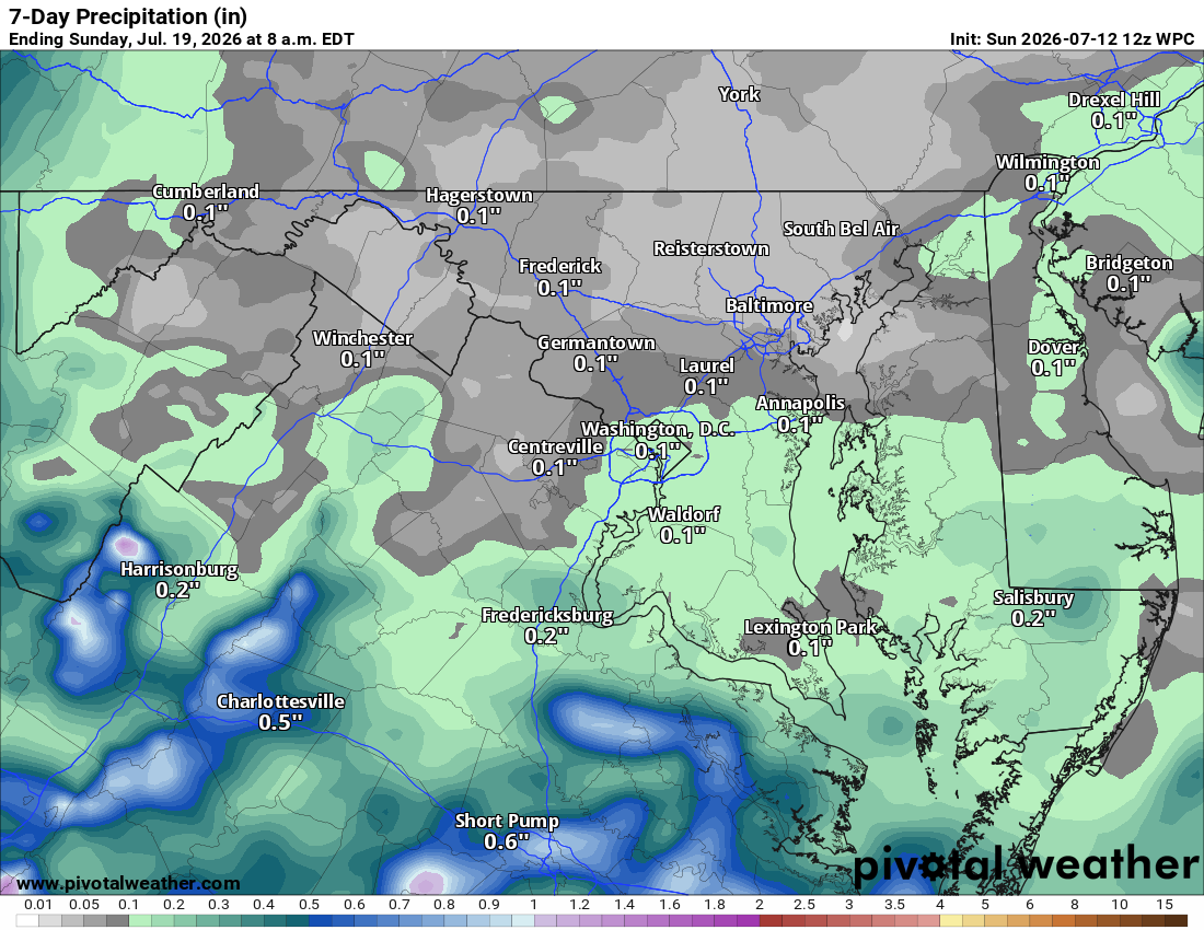
Today's muggy thanks to an easterly fetch off the ocean, keeping us cloudy and sticky. A shower or storm is possible later in the day.
☀️ Tomorrow's the Pick of the Week
Drier air pushes in from the north Monday, making it the most comfortable day around, with highs in the low 80s.
🔥 Heat Cranks Up Midweek
Tuesday brings highs near 90, then Wednesday looks like the hottest day of the week with mid to upper 90s. Thursday and Friday stay in the low 90s.
⛈️ Heat and Storms Return Next Weekend
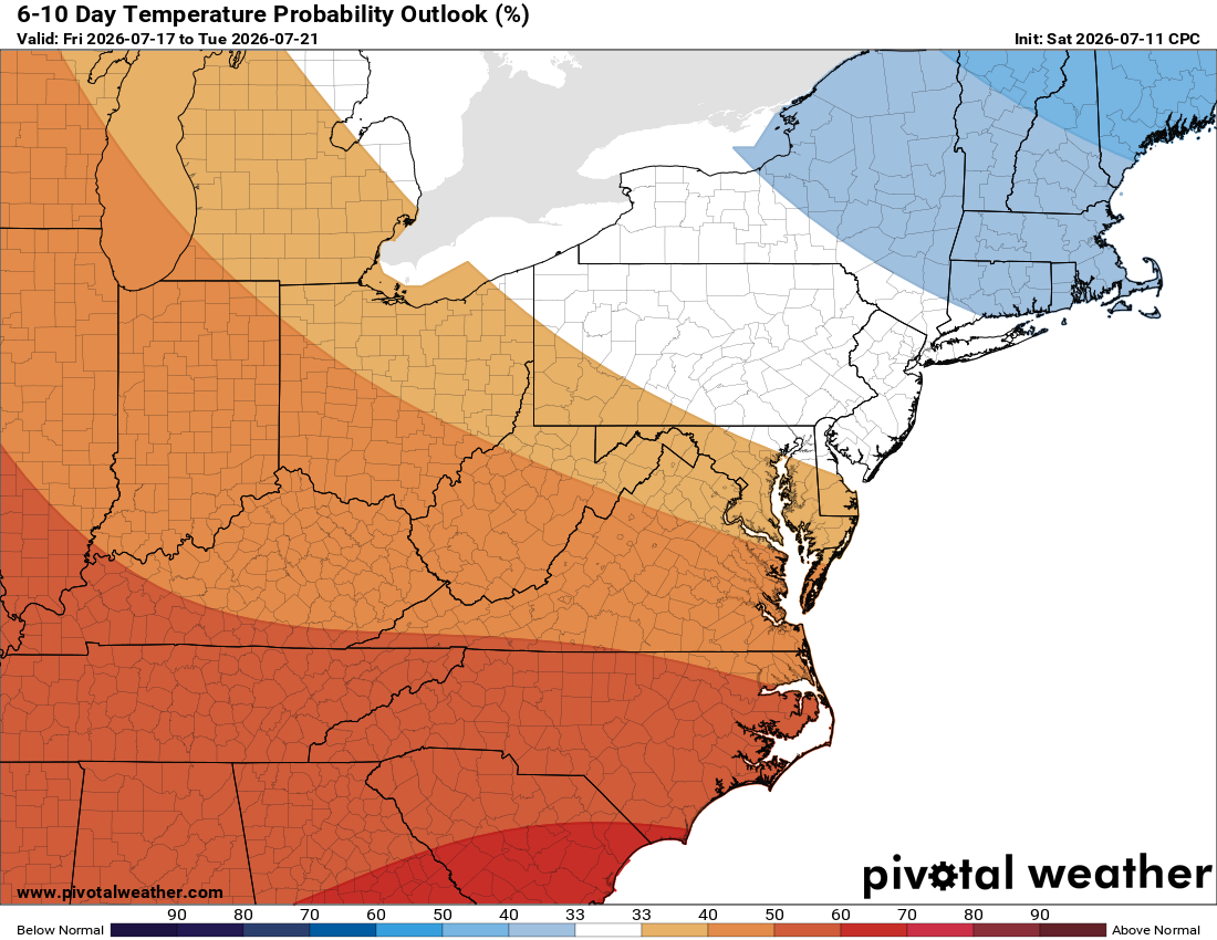
Low 90s continue into next weekend, with another shot at showers and storms. The Storm Prediction Center has already flagged next Saturday as a potential severe weather day at 15%, which is unusually high this far out. Exactly where storms fire is still uncertain, but confidence is growing that severe weather will show up somewhere in the region.
🌡️ Bottom Line
Look for a dry stretch most of the week after today's isolated storm chance, with above normal heat sticking around into next weekend and beyond.
The forecast:
Today: Hi 82 🌦️30% Lo 63 ☁️ – Showers or a thunderstorm possible this afternoon, clearing to partly cloudy overnight
Monday: Hi 81 🌞 Lo 61 – Mostly sunny and pleasant
Tuesday: Hi 87 ☀️ Lo 68 – Sunny and clear
Wednesday: Hi 95 🥵 Lo 71 – Hot and sunny
Thursday: Hi 92 🥵 Lo 69 ☁️ – Sunny, turning partly cloudy overnight
Friday: Hi 90 🌤️ Lo 68 🌧️20% – Mostly sunny, slight chance of showers and storms overnight
Saturday: Hi 90 🌦️30% Lo 68 🌧️ – Chance of showers and thunderstorms, otherwise mostly sunny
#loudoun #loudouncountyva #vawx #loudounweather #loudounva #virginiaweather
Please support Tree of Life Ministries, an important organization to me!
Facebook: https://facebook.com/loudounwx
Twitter: https://twitter.com/loudounwx
Instagram: https://www.instagram.com/loudounweather/
On the Web @ https://loudounweather.com