⚠️⚡ Severe Storms Possible Tuesday
🌤️ Beautiful Start to the Week
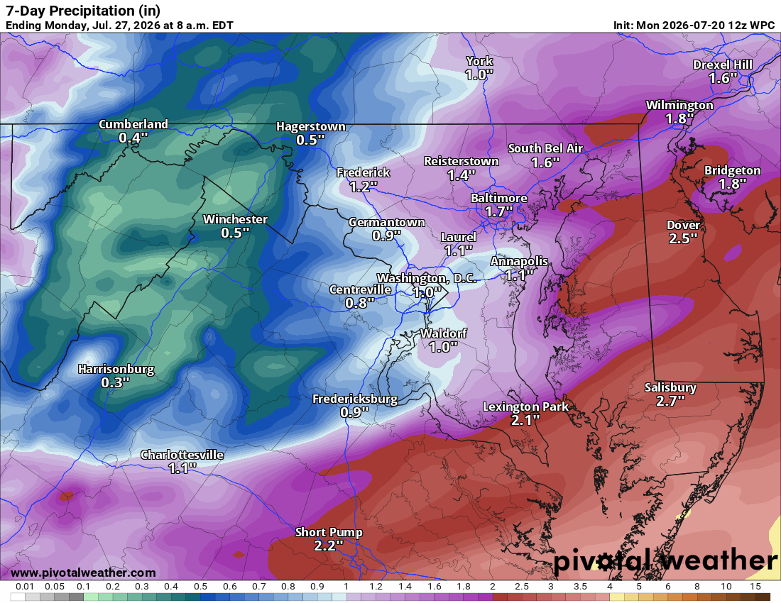
Good Monday morning! Highs in the mid 80s, south winds cranking up humidity overnight, and a fifty percent chance of showers and storms late.
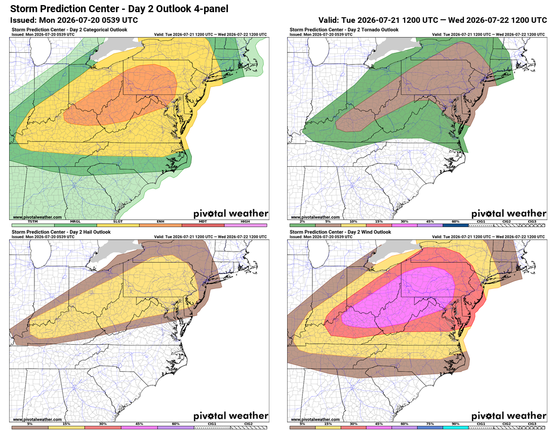
🌩️ Watching Tuesday Closely
Tomorrow starts sunny but turns much warmer, highs near 90. Storms are possible afternoon and evening, some could turn severe with damaging winds, hail, and even an isolated tornado. Rain chances continue Tuesday night as a front moves through.
🌦️ Midweek Front Passage
A secondary front keeps a smaller rain chance Wednesday, with temperatures easing into the mid 80s.
☀️ Thursday Steals the Show
Thursday is the gem of the week, highs near 80, low humidity, refreshing northerly wind. Incredible for late July.
🌞 Warming Back Up for the Weekend
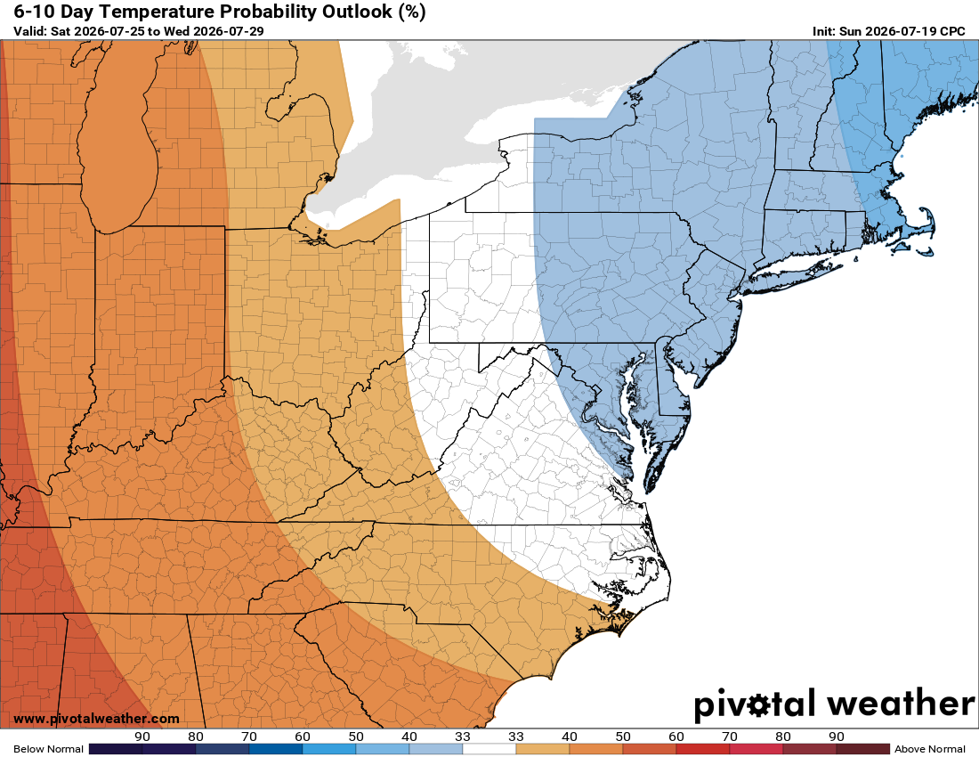
Friday stays pleasant in the low 80s, then mid 80s Saturday and upper 80s Sunday, closer to normal by weekend's end.
A beautiful stretch once we get past Tuesday's severe threat. This is usually the hottest week of the year, so cooler temperatures are a welcome break, though summer heat isn't done yet.
The forecast:
Monday: Hi 84 🌞 Lo 68 🌧️50% – Mostly sunny, then increasing clouds with a chance of showers and storms after 2am
Tuesday: Hi 87 🌦️70% Lo 68 🌧️90% – Showers and storms likely, mainly in the afternoon and continuing into the night
Wednesday: Hi 84 🌦️30% Lo 60 – Mostly sunny, slight chance of afternoon showers or storms
Thursday: Hi 79 🌞 Lo 59 – Sunny and pleasant
Friday: Hi 81 🌞 Lo 63 ☁️ – Sunny during the day, turning mostly cloudy overnight
Saturday: Hi 83 🌞 Lo 65 ☁️ – Mostly sunny, becoming partly cloudy
Sunday: Hi 87 🌤️ Lo 64 – Mostly sunny
#loudoun #loudouncountyva #vawx #loudounweather #loudounva #virginiaweather
Please support Tree of Life Ministries, an important organization to me! https://www.tolministries.org
Facebook: https://facebook.com/loudounwx
Twitter: https://twitter.com/loudounwx
Instagram: https://www.instagram.com/loudounweather/
On the Web @ https://loudounweather.com