Local weather. A little perspective.Loudoun County, VirginiaOfficial NWS alerts ↗
Loudoun County, Virginia

The local outlook

Forecasts, updates and a little local perspective.

Loudoun County Weather Outlook for Friday, December 5, 2025

12/5/2025
❄️ Snowy Start with Slick Roads
We woke up to about an inch of snow in Purcellville and very slick roads this morning. Be extra careful out there since many roads weren’t treated.

🌥️ Clouds will thin some today
Temps are hovering around freezing, but we could see the clouds thin a little, and that should help melt and dry up the roads a bit.

🌧️ Watch for Light Freezing Drizzle
Moisture could bring some light drizzle this afternoon and evening. With temps still cold, there’s a chance it could freeze on contact—so use caution if you're out and about.

🥶 Cold Tonight
Temps drop into the 20s overnight, which will help freeze anything left on the roads.

🌞 More Sunshine Saturday
We rebound into the low 40s tomorrow with plenty of sun to help melt the remaining snow. Sunday looks similar

📉 Colder Early Next Week
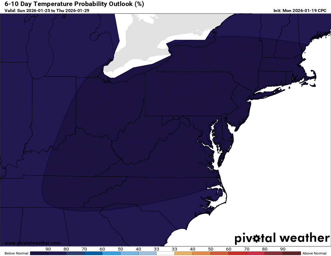
Temps dip again to start the week before we warm back up mid to late week. Another cold front is likely next weekend.

🌾 Dry Pattern Continues
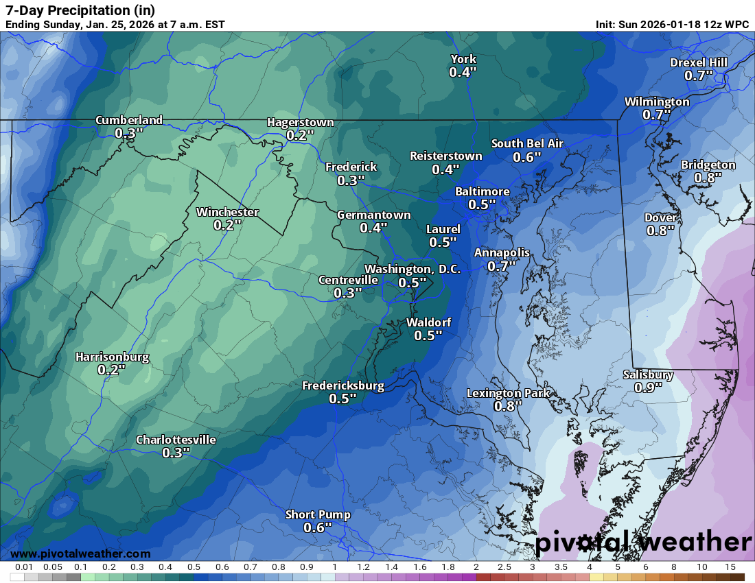
Still in a dry stretch, which isn’t great news for wells and our water supply. Next real storm chance looks to be after December 18th.

Have an awesome day and stay warm!

The forecast:
Thanks! Here's your full forecast formatted as requested:

Today: Hi 32 ☁️40% Lo 22 ☁️ – Mostly cloudy with a chance of snow through early afternoon

Saturday: Hi 43 🌤️ Lo 25 🌙 – Mostly sunny, becoming partly cloudy overnight

Sunday: Hi 41 ⛅ Lo 25 ☁️ – Partly sunny with increasing clouds at night

Monday: Hi 33 🌤️ Lo 17 🌙 – Mostly sunny during the day and clear at night

Tuesday: Hi 38 🌤️ Lo 28 ☁️ – Mostly sunny, turning mostly cloudy overnight

Wednesday: Hi 46 ☁️ Lo 34 🌧️40% – Mostly cloudy with a chance of evening rain

Thursday: Hi 42 🌦️30% Lo 38 ☁️ – Partly sunny with a slight chance of rain

#loudoun #loudouncountyva #vawx #loudounweather #loudounva #virginiaweather
Please support Tree of Life Ministries, an important organization to me! https://www.tolministries.org


image.png

Loudoun County Weather Outlook for Thursday, December 4, 2025

12/4/2025 – ❄️❄️ Morning commute concerns! Light snow could bring a Winter Weather Advisory and may impact schools!

❄️ Quiet Today with Cold Air Settling In
Temps will reach around 40°F under partly sunny skies. Clouds build tonight and we could see some flurries by morning.

🌨️ Light Snow Possible Early Friday
Some light snow could stick around through the first part of Friday, especially in southern and southeastern Loudoun. A dusting to maybe an inch is possible, but most will be around a half inch (or less) if we can get into the snow (at least the way I see it currently). I attached the NWS Snow outlook, which shows about a half inch possible. NOTE – These CAN be the sneaky travel commute nightmare setups where the little bit of snow is underestimated. With temps around 20 tonight, anything that falls will stick and could be an issue!

🌬️ Storm Stays South
This system is mainly targeting areas well south, from Fredericksburg down to North Carolina, where 2 to 4 inches (locally 6″ in the hills) are expected. High pressure to our north is keeping most of the moisture away from us.

🌥️ Chilly Weekend
Highs will stay in the low 40°sF through Sunday, with partly skies.
📆 Watching Next Week
Another storm could try to make a run at us late next week..

Stay warm out there! I will update if the snow chances shift.

The forecast:
Today: Hi 41 ☀️ Lo 20 ☁️ – Mostly sunny, becoming cloudy tonight

Friday: Hi 31 ❄️50% Lo 22 ☁️ – Mostly cloudy and cold with a chance of snow

Saturday: Hi 42 🌤️ Lo 26 ☁️ – Partly sunny, turning mostly cloudy at night

Sunday: Hi 42 ☁️ Lo 24 ☁️ – Mostly cloudy

Monday: Hi 32 🌤️ Lo 16 🌙 – Mostly sunny

Tuesday: Hi 36 🌤️ Lo 27 ☁️ – Mostly sunny

Wednesday: Hi 43 ☁️ Lo 29 ☁️ – Mostly cloudy

#loudoun #loudouncountyva #vawx #loudounweather #loudounva #virginiaweather
Please support Tree of Life Ministries, an important organization to me! https://www.tolministries.org


image.png

image.png

Loudoun County Weather Outlook for Wednesday, December 3, 2025

12/3/2025
❄️ Cold Pattern Setting Up
Enjoy the sunshine today and tomorrow with highs near 40°F, but things turn colder by Thursday night.

🌬️ Cold Friday
Cold air pours in with highs struggling to hit freezing and nighttime lows diving into the teens Thursday night. Some light snow is possible Friday, but details will need to be refined as it is a dynamics-driven system compared to a normal low-pressure setup! This is a tough situation for models to get correct.

🌡️ Chilly Weekend
Saturday and Sunday stay cold with highs around 40°F and continued dry conditions. Bundle up!

🌨️ Watching a Monday System
A southern storm could clip us with snow Monday, depending on the track. The American model is interesting, but the European says no. Too early to call, but worth watching.

Overall, it's a dry but cold stretch. Stay warm and enjoy this nice Wednesday while it lasts!

The forecast:
Today: Hi 40 🌤️ Lo 24 🌙 – Mostly sunny, becoming mostly clear tonight

Thursday: Hi 40 ⛅ Lo 17 🌙 – Partly sunny, becoming partly cloudy overnight

Friday: Hi 33 ⛅❄️30% Lo 23 ❄️🌧️20% – Mostly cloudy with a chance of snow in the afternoon, slight chance of snow and freezing rain at night

Saturday: Hi 43 ⛅ Lo 26 ☁️ – Partly sunny during the day, becoming mostly cloudy overnight

Sunday: Hi 40 ☁️ Lo 26 ☁️ – Mostly cloudy

Monday: Hi 35 ☁️❄️❓ Lo 20 ☁️ – Mostly cloudy (watching for snow)

Tuesday: Hi 36 ⛅ Lo 18 🌙 – Partly sunny and continued cold

#loudoun #loudouncountyva #vawx #loudounweather #loudounva #virginiaweather
Please support Tree of Life Ministries, an important organization to me! https://www.tolministries.org


image.png

Loudoun County Weather Outlook for Tuesday, December 2, 2025

12/2/2025
🌧️ Cold Rainy Tuesday
A wintry start this morning with sleet and freezing rain has turned to a chilly rain. Temps stay stuck in the 30s through the day with showers lingering into the evening.

🌬️ Chilly
Wednesday and Thursday will see highs around 40. Cold air drops temps fast on Thursday night with lows plunging into the teens.

🌨️ Watching Friday Night Snow
Friday stays cold with highs near freezing. A slight chance of snow arrives Friday night into early Saturday, though it remains uncertain. Keep an eye on the forecast.

🌡️ Chilly Weekend Ahead
Saturday reaches the mid 40s and Sunday stays around 40. Monday looks colder with highs only in the low to mid 30s.

❄️ Snow Chances Early Next Week
Colder air sticks around, and we’re watching for another shot at snow next week if the moisture lines up.

The forecast:
Today: Hi 40 🌧️100% Lo 24 🌙 – Rain through early afternoon with patchy fog, clearing by evening under mostly clear skies

Wednesday: Hi 40 ☀️ Lo 23 🌙 – Sunny during the day and mostly clear overnight

Thursday: Hi 41 ⛅ Lo 16 🌙 – Partly sunny and breezy, becoming clear and colder overnight

Friday: Hi 33 ⛅ Lo 24 ❄️30% – Partly sunny during the day with a chance of snow late at night

Saturday: Hi 44 ⛅ Lo 26 ☁️ – Partly sunny, becoming mostly cloudy overnight

Sunday: Hi 40 ⛅ Lo 24 ☁️ – Partly sunny, with increasing clouds overnight

Monday: Hi 34 ⛅ Lo 24 ❄️30% – Partly sunny during the day with a slight chance of snow overnight

#loudoun #loudouncountyva #vawx #loudounweather #loudounva #virginiaweather
Please support Tree of Life Ministries, an important organization to me! https://www.tolministries.org


image.png

Loudoun County Weather Outlook for Monday, December XX, 2025

12/1/2025 – Quick update

🌧️ Cold Air Gets Pushed Out Tonight – Sleet and Snow Stay Minor

Southerly winds will quickly erode the cold air tonight, cutting down snow chances. A wintry mix will move in overnight into tomorrow morning. With colder temps on elevated surfaces, a light glaze will be possible.

Some sleet and a few snowflakes may mix in, but they won’t amount to much. Slick spots are possible on shaded or elevated surfaces, and a thin glaze could develop on trees.

🌡️ Chilly Tuesday Ahead

Temperatures will likely stay in the mid-30s through the day tomorrow. With lingering warmth from fall, early winter is off to a tricky start.

I will update later on the frozen chances for Friday night.

The forecast:
oday: Hi 41 🌤️ Lo 28 ❄️🌧️60% – Mostly sunny, becoming cloudy with sleet possible overnight

Tuesday: Hi 38 ❄️🌧️100% Lo 24 🌙 – Snow, sleet, and freezing rain changing to all rain by late morning, then clearing late

Wednesday: Hi 39 ☀️ Lo 23 🌙 – Sunny during the day, remaining mostly clear at night

Thursday: Hi 41 ⛅ Lo 18 🌙 – Partly sunny during the day and mostly clear overnight

Friday: Hi 32 ❄️ Lo 27 ❄️🌧️60% – Mostly cloudy with a chance of afternoon snow, becoming freezing rain overnight

Saturday: Hi 42 ❄️🌦️30% Lo 28 ☁️ – Mostly cloudy with a chance of rain during the day

Sunday: Hi 42 ⛅ Lo 27 🌙 – Partly sunny

#loudoun #loudouncountyva #vawx #loudounweather #loudounva #virginiaweather
Please support Tree of Life Ministries, an important organization to me! https://www.tolministries.org


image.png
image.png

image.png