Happy Sunday to you! It is going to be another pretty day, although we have some gusty winds out there reaching up to 25 mph at times.
🌤️ Breezy Sunday
Highs will stay in the low 60s today with some breezes
☀️ Milder Monday
Tomorrow looks much nicer with highs climbing into the mid 70s. It stays a little bit breezy out there. We could see a shower Monday night, but most likely we stay dry.
🌡️ Warm Tuesday
We warm up nicely on Tuesday for another beautiful day. Highs reach the low 80s.
🌧️ Rain Chances Rise
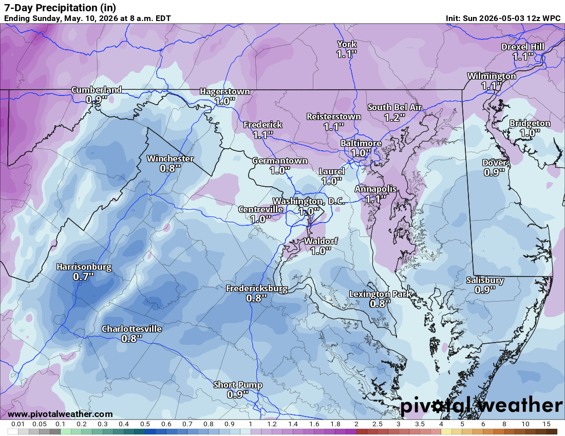
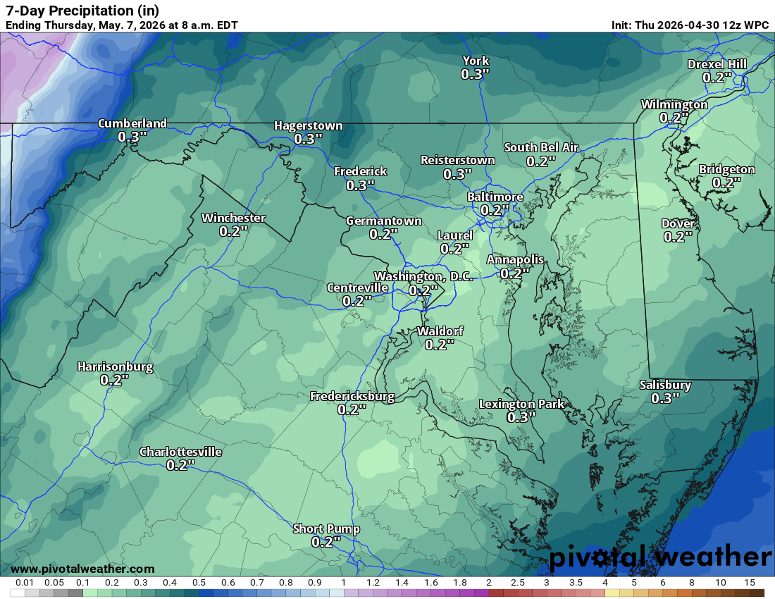
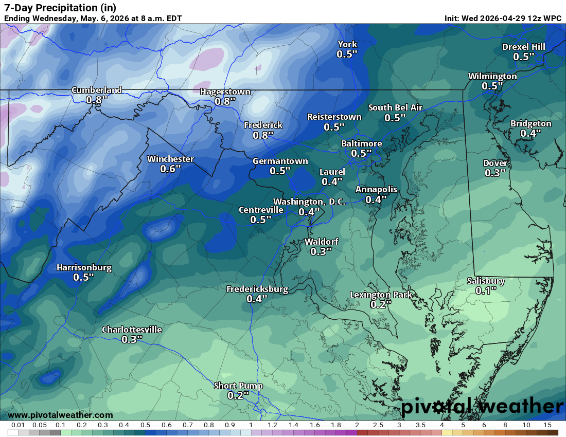
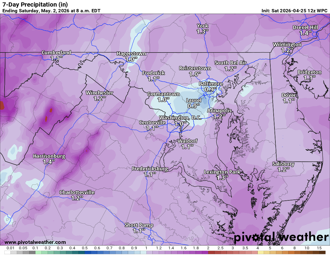
Showers pick up late Tuesday night and into Wednesday. We are looking at a 90% chance of rain for Wednesday with temperatures cooling back into the 70s.
🌦️ Unsettled Late Week
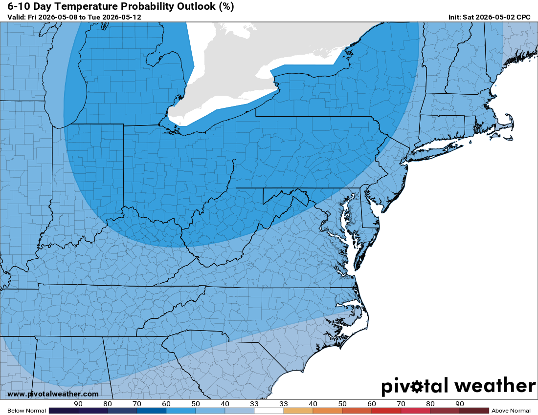
Showers are possible on Thursday, with a high near 65. Shower chances linger into next weekend. Highs will stay in the low to mid 60s with nighttime lows in the 40s.
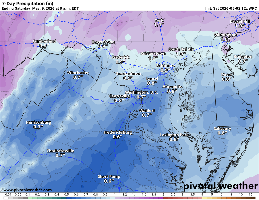
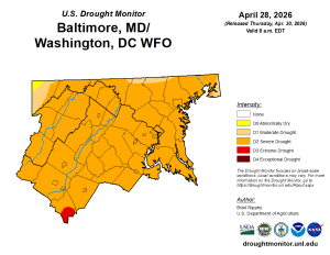
📉 Drought Relief
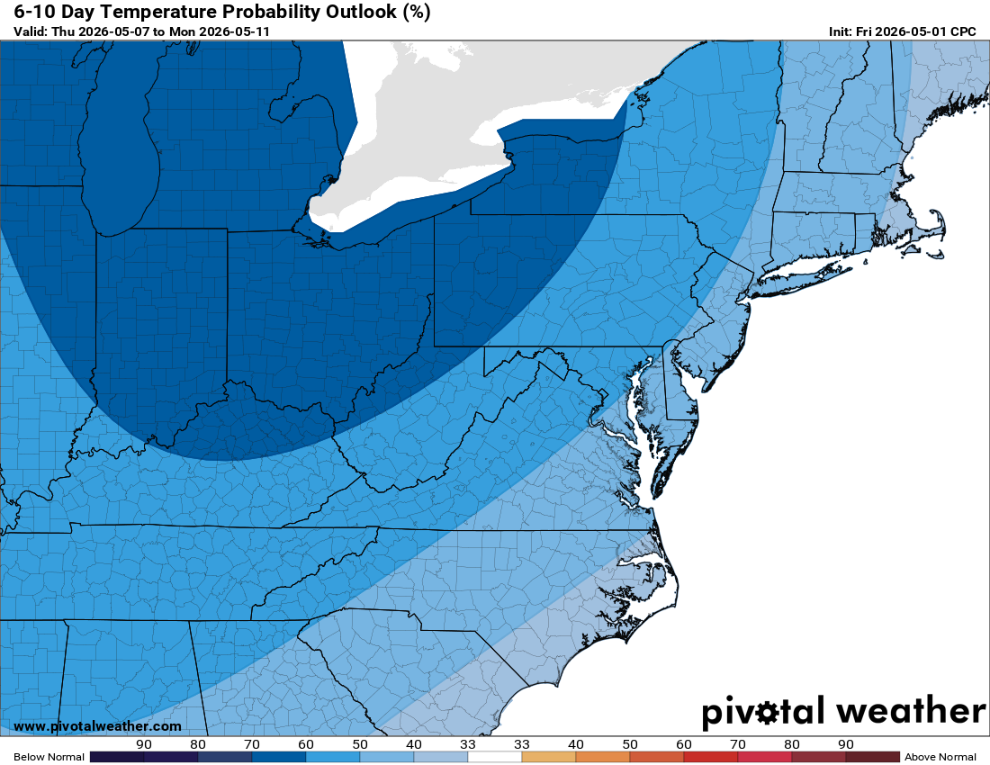
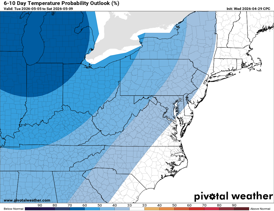
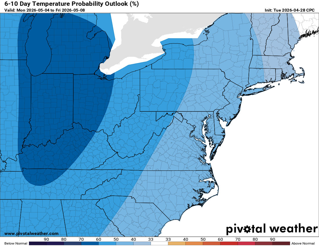
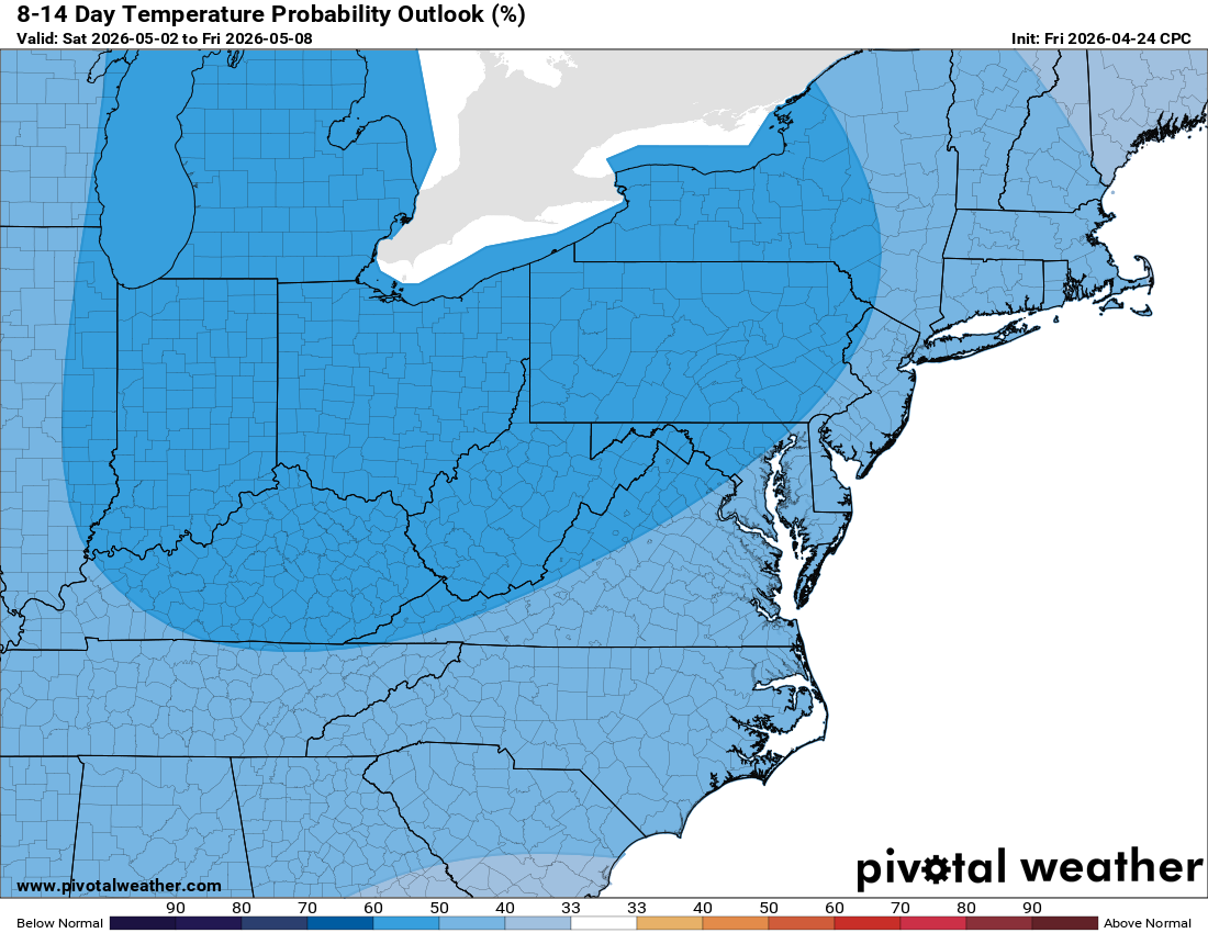
Spring is slowly warming up, but it looks like we will stay on the cooler side for the near future.
Have a great Sunday!
The Forecast:
Today: Hi 62 ☀️ Lo 43 ☁️ – Areas of frost before 7am, then sunny.
Increasing clouds tonight.
Monday: Hi 74 ☀️ Lo 56 🌧️20% – Mostly sunny. Slight chance of showers
before 2am tonight.
Tuesday: Hi 81 ☀️ Lo 62 🌧️60% – Mostly sunny. Showers likely tonight mainly
after 2am.
Wednesday: Hi 74 🌦️90% Lo 54 ⛈️80% – Showers with thunderstorms possible
after 2pm. Showers and possibly thunderstorms continue tonight.
Thursday: Hi 65 🌧️80% Lo 44 🌧️60% – Showers. Showers likely tonight mainly
before 8pm.
Friday: Hi 64 🌦️30% Lo 45 🌧️30% – Chance of showers with mostly sunny
skies. Chance of showers continues tonight.
Saturday: Hi 63 ⛅50% Lo – Chance of showers with partly sunny skies.
#loudoun #loudouncountyva #vawx #loudounweather #loudounva #virginiaweather
Please support Tree of Life Ministries, an important organization to me!
Facebook: https://facebook.com/loudounwx
Twitter: https://twitter.com/loudounwx
Instagram: https://www.instagram.com/loudounweather/
On the Web @ https://loudounweather.com