⚠️🌡️🔥🥵 Extreme Heat Warning today and tomorrow!
⚠️ Extreme Heat Watch for the Fourth!
🥵 The Heat Is Here
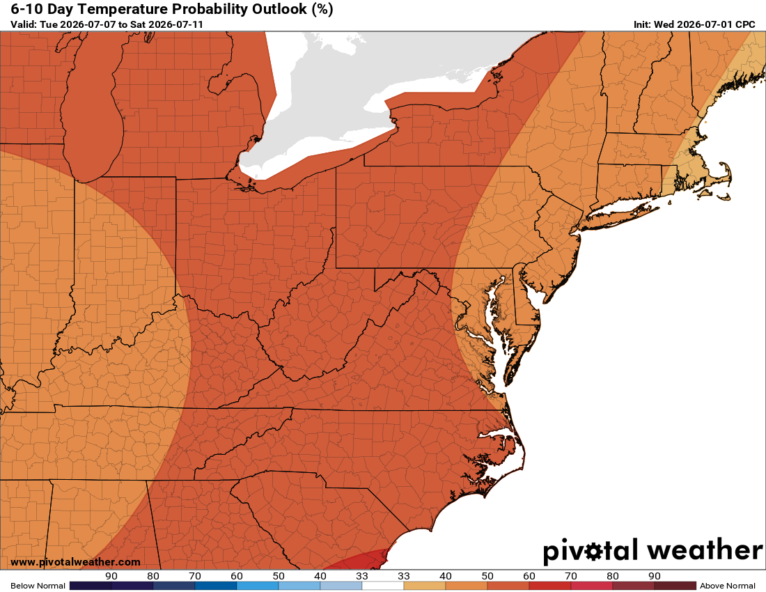
Overnight lows were uncomfortable, with heat index still in the mid to upper 80s. Today brings dangerous heat index temps topping 110 at times. Take it easy outside, check on neighbors, leave water for delivery drivers, and provide shade and water to outdoor animals.
🌩️ Watching for a Stray Storm
The heat continues tomorrow with a slight chance of a shower or storm, and today isn't out of the question either. It depends on whether we break the cap over us. If a storm fires, it could turn severe with strong winds and hail.
⚠️ Extreme Heat Watch and Severe Risk for The Fourth!
Saturday brings an extreme heat watch and a slight risk for severe weather, with damaging wind the main concern. Plan for shelter if needed in severe weather!
🌦️ Relief on the Way
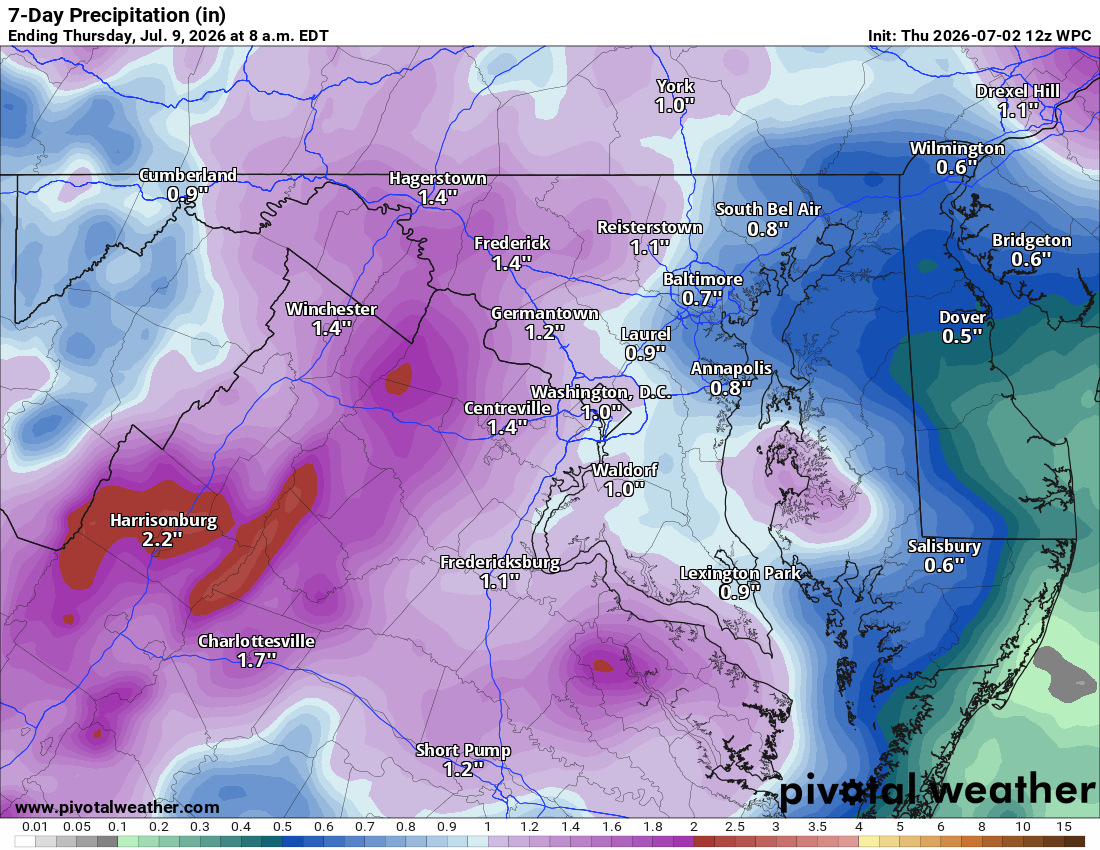
Daily shower and storm chances continue through midweek as temperatures ease, dropping into the low 80s.
The forecast:
Today: Hi 101 ☀️ Lo 76 🌙 – 🌡️ Sunny and dangerously hot with heat index well into the triple digits
Friday: Hi 101 🌦️20% Lo 75 ☁️ – 🌡️ Sunny and hot with a slight chance of a strong afternoon storm
Saturday: Hi 98 🌦️50% Lo 72 🌧️40% – 🌡️ Mostly sunny and hot with a better chance of afternoon and evening storms, some strong
Sunday: Hi 94 🌦️70% Lo 70 🌧️60% – Showers and storms likely in the afternoon and evening as temperatures ease
Monday: Hi 88 🌦️70% Lo 68 🌧️60% – Showers and storms likely in the afternoon and evening
Tuesday: Hi 86 🌦️30% Lo 67 🌧️30% – A chance of showers and storms
Wednesday: Hi 81 🌦️20% Lo 64 🌙 – A slight chance of showers and storms
#loudoun #loudouncountyva #vawx #loudounweather #loudounva #virginiaweather
Please support Tree of Life Ministries, an important organization to me! https://www.tolministries.org
Facebook: https://facebook.com/loudounwx
Twitter: https://twitter.com/loudounwx
Instagram: https://www.instagram.com/loudounweather/
On the Web @ https://loudounweather.com