🌦️ Humid Wednesday With Storm Chances
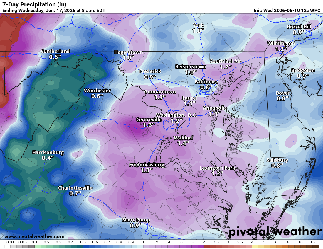
Good Wednesday! You can definitely feel the humidity out there. We had some good showers, and thunderstorms are possible throughout the day. There’s a chance of a stronger storm with gusty winds.
🥵 Dangerously Hot Thursday
Tomorrow will be very, very hot with heat index values that make it feel like the low 100s. A chance of afternoon and evening showers and storms exists, and any that develop could be potentially severe. The Storm Prediction Center has outlined Thursday with a slight risk for severe weather.
⛈️ Better Storm Chances Friday
Friday highs reach the mid 90s with heat index values at or above 100°F. Showers and storms are likely, and severe weather will need to be watched.
☀️ Weekend Stays Hot
After Friday night’s storms clear things out, highs drop back to around 90°F on Saturday with less humidity. A shower or storm is possible Sunday as temps climb back into the low 90s and humidity creeps back up.
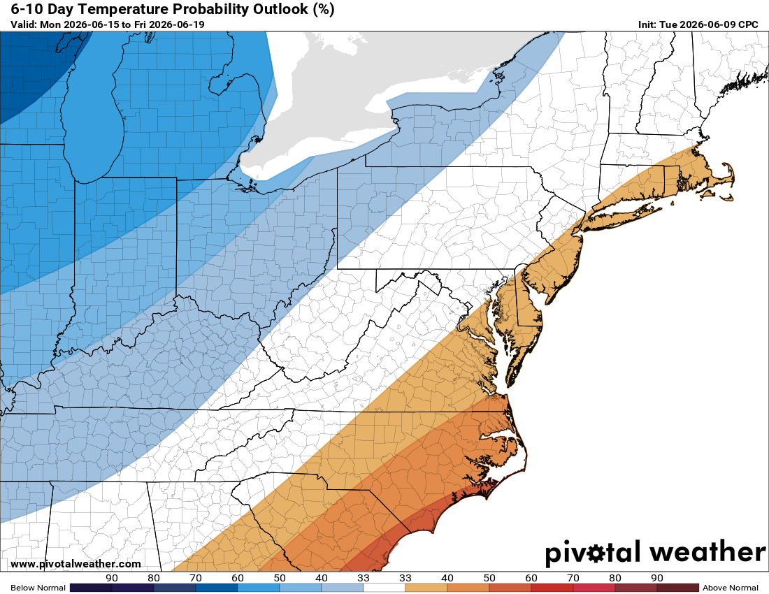
🌡️ Next Week Brings Some Relief
Showers and storms arrive early next week, knocking temperatures back to the low to mid 80s.
The forecast:
Today: Hi 85 🌦️100% Lo 70 🌧️ 30% – Showers and thunderstorms
Thursday: Hi 93 🌤️30% Lo 71 🌧️ 20% – 🥵 Hot with a chance of showers and storms Heat index values as high as 101.
Friday: Hi 94 🌦️60% Lo 68 🌧️60% – 🥵 Hot with showers and storms
Saturday: Hi 89 ☀️ Lo 64 🌙 – Sunny with mostly clear skies at night.
Sunday: Hi 92 🌦️ 30% Lo 64 🌧️40% – Hot with a chance of showers and
thunderstorms
Monday: Hi 83 🌦️ 40% Lo 62 🌧️30% – Partly sunny with a chance of showers and
thunderstorms.
Tuesday: Hi 83 🌧️ 30% – Partly sunny with a chance of showers.
#loudoun #loudouncountyva #vawx #loudounweather #loudounva #virginiaweather
Please support Tree of Life Ministries, an important organization to me!
Facebook: https://facebook.com/loudounwx
Twitter: https://twitter.com/loudounwx
Instagram: https://www.instagram.com/loudounweather/
On the Web @ https://loudounweather.com