🌤️ Not a Bad Tuesday
A decent day to start. Highs will reach the low 80s, a touch cooler than expected due to cloud cover keeping temperatures in check.
🌧️ Shower Chance Tonight Into Wednesday
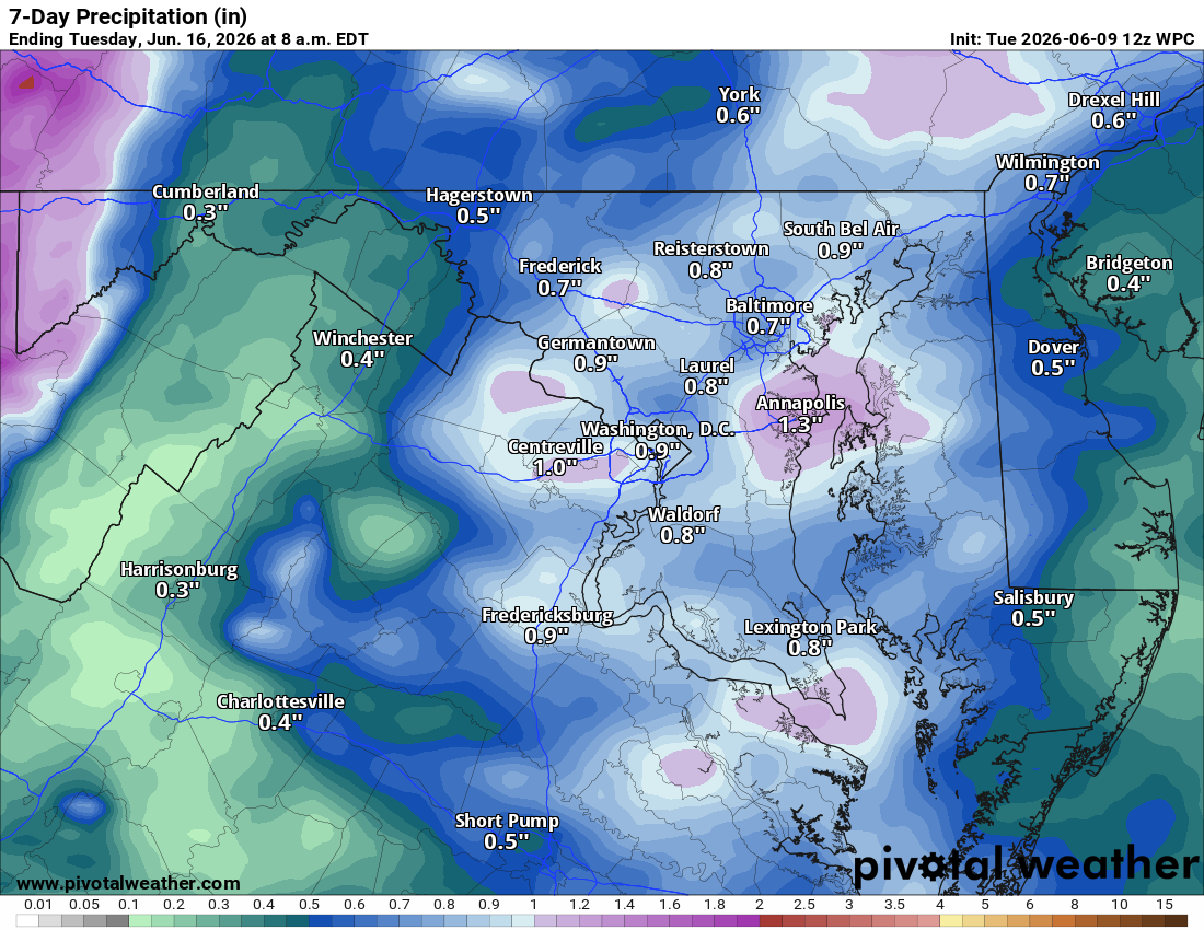
A warm front moves through overnight, bringing a chance of showers. Wednesday highs climb near 90°F, and there's a chance of showers and thunderstorms, though not as strong as previously thought. We really need these storms to come through as the drought continues.
🔥 Heat Builds Thursday Through Friday
Thursday kicks off the serious heat with mid 90s and humidity surging. Heat index values could hit 100°F or higher. Friday looks like the peak of the heat wave, with mid to upper 90s and heat indexes potentially touching 105°F. A chance of showers and storms on Friday could help break things up.
☀️ Hot Weekend
Saturday and Sunday both feature sunshine and highs near 90°F and slightly less humid air. A chance of showers and storms returns Monday, with perhaps a slight cooldown to close out next week.
The forecast:
Today: Hi 81 🌤️ Lo 67 🌧️40% – Mostly cloudy, then chance of showers and
thunderstorms after 5am
Wednesday: Hi 88 🌦️50% Lo 70 ⛈️30% – Chance of showers and thunderstorms
Thursday: Hi 94 🌤️40% Lo 71 🌧️30% – 🥵 Hot and sunny, then chance of afternoon showers and thunderstorms
Friday: Hi 95 🥵🌦️50% Lo 68 🌧️40% – Hot and mostly sunny, then chance of showers and thunderstorms
Saturday: Hi 89 ☀️ Lo 64 🌙 – Mostly sunny
Sunday: Hi 90 ☀️ Lo 64 🌧️30% – Mostly sunny, then chance of showers
Monday: Hi 86 🌦️40% – Chance of showers and thunderstorms
#loudoun #loudouncountyva #vawx #loudounweather #loudounva #virginiaweather
Please support Tree of Life Ministries, an important organization to me!
Facebook: https://facebook.com/loudounwx
Twitter: https://twitter.com/loudounwx
Instagram: https://www.instagram.com/loudounweather/
On the Web @ https://loudounweather.com