☀️ Near 80° Today
It is going to be a pretty nice day with highs reaching near 80°F, but showers and storms are expected possible later in the day an overnight.
⛈️ Storms & Cooler Saturday
More showers and potential storms are possible tomorrow and tomorrow night as temperatures cool to the low 60s.
📉 Chilly Sunday Clearing
Expect morning showers Sunday followed by early clearing. It will feel much cooler with highs only in the mid 50s.
🌤️ Seasonal Monday
Monday looks beautiful with highs in the mid 60s.
🌧️ Wet Midweek Ahead
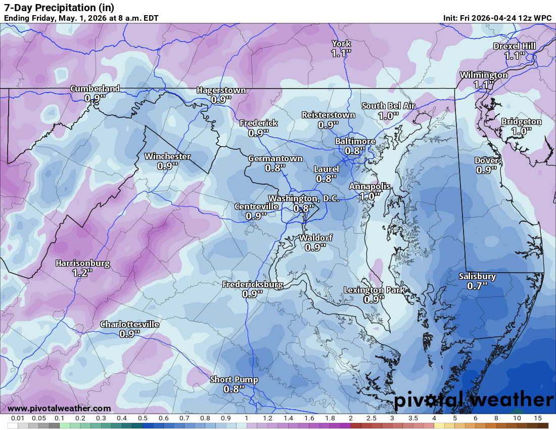
Rain chances return Monday night and stick around for Tuesday, Wednesday, and even some lingering showers on Thursday. We’ll see highs in the 60s early in the week before warming back into the low 70s later on.
🏜️ Drought Update
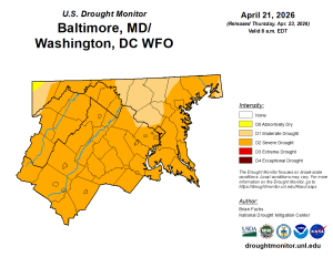
The drought has unfortunately worsened to Severe levels across the area. While we have rain in the forecast, we need quite a bit more to make a dent in these deficits.
📉 Long Range Outlook
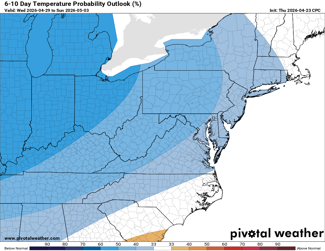
Looking ahead, expect a cooling trend to take hold as we move into May.
The forecast:
Today: Hi 80 🌦️50% Lo 53 🌧️40% – Scattered showers and thunderstorms
developing in the afternoon, continuing tonight
Saturday: Hi 63 🌧️90% Lo 44 🌧️90% – Showers likely, then showers and
thunderstorms after 2pm continuing through night
Sunday: Hi 55 ☁️60% Lo 41 🌙20% – Showers likely mainly before 8am, then
partly cloudy with slight chance of showers before 2am
Monday: Hi 65 ☀️ Lo 44 ⛅ – Sunny becoming partly cloudy
Tuesday: Hi 66 🌧️70% Lo 53 🌧️40% – Showers likely after 8am with chance
continuing tonight
Wednesday: Hi 72 🌦️50% Lo 50 🌧️40% – Partly sunny with chance of showers
continuing into night
Thursday: Hi 70 🌦️40% – Partly sunny with chance of showers
#loudoun #loudouncountyva #vawx #loudounweather #loudounva #virginiaweather
Please support Tree of Life Ministries, an important organization to me!
Facebook: https://facebook.com/loudounwx
Twitter: https://twitter.com/loudounwx
Instagram: https://www.instagram.com/loudounweather/
On the Web @ https://loudounweather.com