☀️ Warm and Variably Cloudy Today
Highs climb into the low 80s under variably cloudy skies. It’s a pretty nice day overall.
🌤️ Another Nice One Saturday
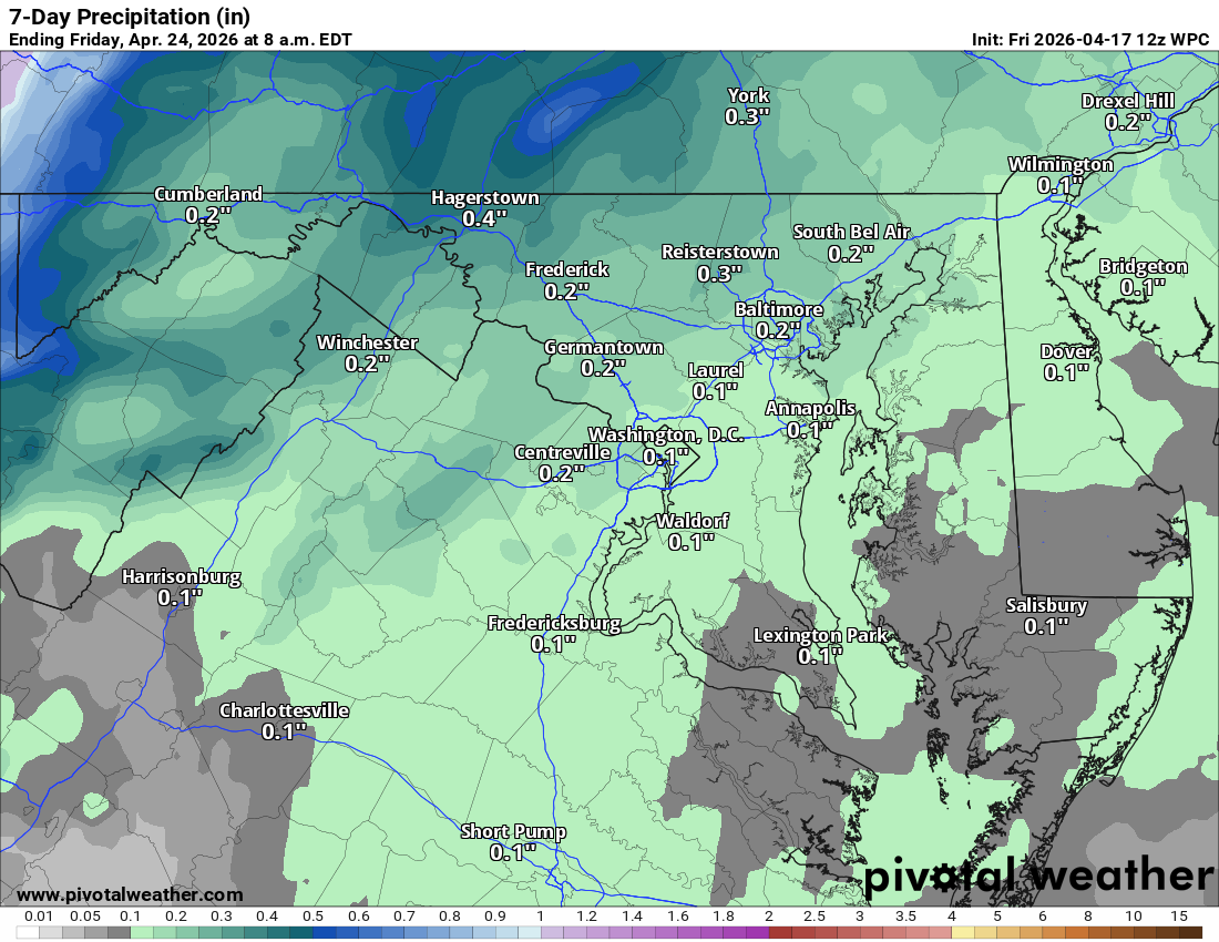
Expect highs around 85 tomorrow. Keep an eye out for a possible shower, though better rain chances arrive tomorrow night through Sunday morning.
📉 Big Temperature Drop Sunday
Clearing begins by noon or shortly after. It turns much cooler with highs only around 60. That is a 30-degree drop compared to the last few days.
❄️ Freeze Watch Monday Night
Temperatures remain in the 50s on Monday. We are watching for frost or a freeze Monday night, which could impact early blooms and budding trees.
📈 Warming Trend Returns
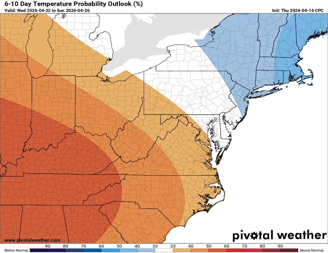
Highs reach the 60s on Tuesday before returning to the 70s on Wednesday and Thursday. We are looking at a nice stretch of mid-70s later next week.
🌵Unfortunately, the rain we get Saturday night into Sunday is not going to help our drought situation much.
The forecast:
Today: Hi 80 🌤️ Lo 57 🌙 – Mostly sunny with northwest winds 6-15 mph,
gusts to 25 mph. Clear tonight.
Saturday: Hi 86 🌤️ Lo 49 🌧️70% – Mostly sunny with south winds 10-15 mph,
gusts to 24 mph. Showers likely after 2am.
Sunday: Hi 59 🌧️80% Lo 38 🌧️30% – Showers mainly before 2pm with northwest
winds 15-18 mph, gusts to 31 mph. Chance of evening showers.
Monday: Hi 53 ☀️ Lo 32 🌙 – Sunny skies with mostly clear conditions
overnight.
Tuesday: Hi 63 ☀️ Lo 49 🌙 – Sunny day with mostly clear night.
Wednesday: Hi 75 🌤️ Lo 50 🌙 – Mostly sunny with partly cloudy night.
Thursday: Hi 75 🌤️ – Mostly sunny conditions.
#loudoun #loudouncountyva #vawx #loudounweather #loudounva #virginiaweather
Please support Tree of Life Ministries, an important organization to me! https://www.tolministries.org
Facebook: https://facebook.com/loudounwx
Twitter: https://twitter.com/loudounwx
Instagram: https://www.instagram.com/loudounweather/
On the Web @ https://loudounweather.com